Distance to Jearoldstown, Tennessee

Calculating Your Route
Just a moment while we process your request...
Location Information
-
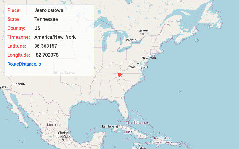
Full AddressJearoldstown, TN 37641
-
Coordinates36.3631569, -82.7023777
-
LocationJearoldstown , Tennessee , US
-
TimezoneAmerica/New_York
-
Current Local Time5:07:15 PM America/New_YorkWednesday, June 18, 2025
-
Page Views0
About Jearoldstown
Jearoldstown is an unincorporated community in northeastern Greene County, Tennessee.
Jearoldstown is located off Interstate 81 exit 44, between Fall Branch and Baileyton.


Nearby Places
Found 10 places within 50 miles

Graysburg
3.6 mi
5.8 km
Graysburg, TN 37641
Get directions
Lovelace
4.0 mi
6.4 km
Lovelace, TN 37656
Get directions
Milburnton
4.8 mi
7.7 km
Milburnton, TN 37681
Get directions
Haws Crossroads
5.0 mi
8.0 km
Haws Crossroads, TN 37656
Get directions
Gabtown
5.2 mi
8.4 km
Gabtown, TN 37656
Get directions
Dykes Mill
5.2 mi
8.4 km
Dykes Mill, TN 37857
Get directions

Fall Branch
5.8 mi
9.3 km
Fall Branch, TN 37656
Get directions
Holland Mill
5.9 mi
9.5 km
Holland Mill, TN 37745
Get directions
Glendale
5.9 mi
9.5 km
Glendale, TN 37681
Get directions
Centersville
6.2 mi
10.0 km
Centersville, TN 37681
Get directions
Location Links
Local Weather
Weather Information
Coming soon!
Location Map
Static map view of Jearoldstown, Tennessee
Browse Places by Distance
Places within specific distances from Jearoldstown
Short Distances
Long Distances
Click any distance to see all places within that range from Jearoldstown. Distances shown in miles (1 mile ≈ 1.61 kilometers).