Distance to Jeffers, Minnesota

Calculating Your Route
Just a moment while we process your request...
Location Information
-
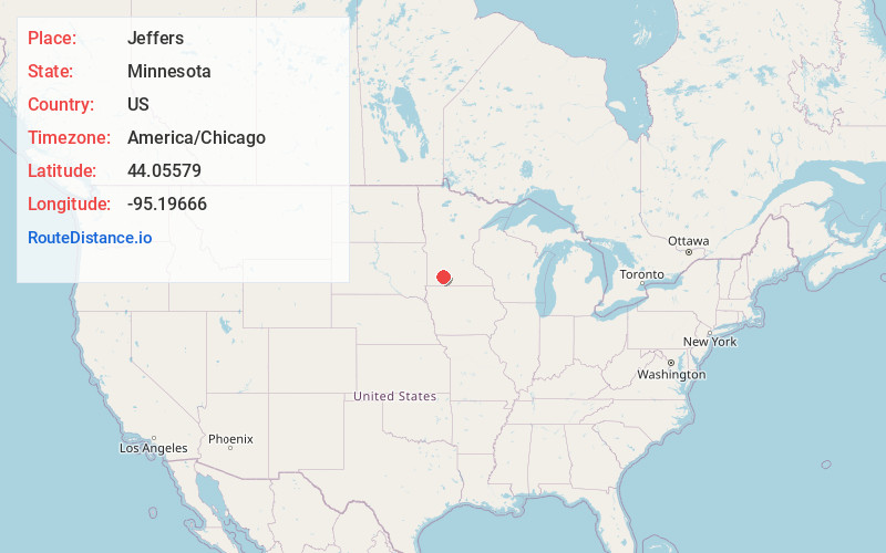
Full AddressJeffers, MN 56145
-
Coordinates44.0557904, -95.1966602
-
LocationJeffers , Minnesota , US
-
TimezoneAmerica/Chicago
-
Current Local Time10:56:33 PM America/ChicagoSunday, June 15, 2025
-
Page Views0
About Jeffers
Jeffers is a city in Amboy Township, Cottonwood County, Minnesota, United States. The population was 369 at the 2010 census.
Minnesota State Highway 30 and County Highway 4 are two of the main routes in the community. U.S. Route 71 is nearby.
Nearby Places
Found 10 places within 50 miles

Sanborn
11.3 mi
18.2 km
Sanborn, MN 56083
Get directions

Westbrook
11.9 mi
19.2 km
Westbrook, MN 56183
Get directions

Lamberton
12.6 mi
20.3 km
Lamberton, MN 56152
Get directions

Windom
13.3 mi
21.4 km
Windom, MN 56101
Get directions

Comfrey
15.0 mi
24.1 km
Comfrey, MN 56019
Get directions

Mountain Lake
15.5 mi
24.9 km
Mountain Lake, MN 56159
Get directions

Springfield
16.8 mi
27.0 km
Springfield, MN 56087
Get directions

Walnut Grove
17.8 mi
28.6 km
Walnut Grove, MN 56180
Get directions

Heron Lake
19.1 mi
30.7 km
Heron Lake, MN 56137
Get directions

Butterfield
21.1 mi
34.0 km
Butterfield, MN 56120
Get directions
Location Links
Local Weather
Weather Information
Coming soon!
Location Map
Static map view of Jeffers, Minnesota
Browse Places by Distance
Places within specific distances from Jeffers
Short Distances
Long Distances
Click any distance to see all places within that range from Jeffers. Distances shown in miles (1 mile ≈ 1.61 kilometers).