Distance to Jefferson County, Colorado

Calculating Your Route
Just a moment while we process your request...
Location Information
-
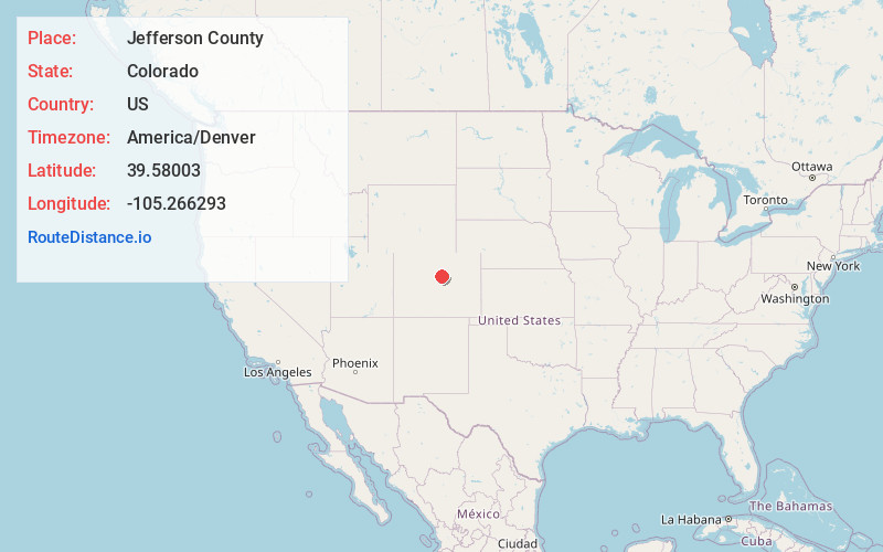
Full AddressJefferson County, CO
-
Coordinates39.5800298, -105.2662931
-
LocationColorado , US
-
TimezoneAmerica/Denver
-
Current Local Time7:37:50 AM America/DenverTuesday, June 17, 2025
-
Page Views0
About Jefferson County
Jefferson County is a county located in the U.S. state of Colorado. As of the 2020 census, the population was 582,910, making it the fourth-most populous county in Colorado. The county seat is Golden, and the most populous city is Lakewood.


Nearby Places
Found 10 places within 50 miles

Indian Hills
3.0 mi
4.8 km
Indian Hills, CO
Get directions

Aspen Park
3.0 mi
4.8 km
Aspen Park, CO
Get directions

Evergreen
4.6 mi
7.4 km
Evergreen, CO 80439
Get directions

Kittredge
5.5 mi
8.9 km
Kittredge, CO
Get directions

Idledale
6.1 mi
9.8 km
Idledale, CO
Get directions

Morrison
6.5 mi
10.5 km
Morrison, CO
Get directions

Genesee
7.6 mi
12.2 km
Genesee, CO
Get directions
Witter Gulch
7.9 mi
12.7 km
Witter Gulch, Colorado 80439
Get directions

Ken Caryl
8.2 mi
13.2 km
Ken Caryl, CO
Get directions

Upper Bear Creek
8.4 mi
13.5 km
Upper Bear Creek, CO 80439
Get directions
Location Links
Local Weather
Weather Information
Coming soon!
Location Map
Static map view of Jefferson County, Colorado
Browse Places by Distance
Places within specific distances from Jefferson County
Short Distances
Long Distances
Click any distance to see all places within that range from Jefferson County. Distances shown in miles (1 mile ≈ 1.61 kilometers).