Distance to Witter Gulch, Colorado

Calculating Your Route
Just a moment while we process your request...
Location Information
-
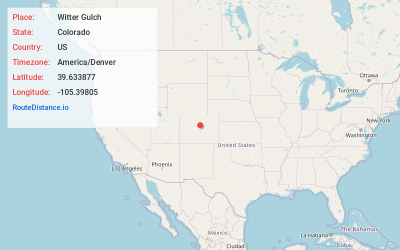
Full AddressWitter Gulch, Colorado 80439
-
Coordinates39.6338771, -105.3980503
-
LocationColorado , US
-
TimezoneAmerica/Denver
-
Current Local Time12:19:26 AM America/DenverSaturday, June 21, 2025
-
Page Views0
Nearby Places
Found 10 places within 50 miles

Upper Bear Creek
0.9 mi
1.4 km
Upper Bear Creek, CO 80439
Get directions

Evergreen
4.3 mi
6.9 km
Evergreen, CO 80439
Get directions

Kittredge
5.4 mi
8.7 km
Kittredge, CO
Get directions
Floyd Hill
6.5 mi
10.5 km
Floyd Hill, CO 80439
Get directions

Genesee
7.9 mi
12.7 km
Genesee, CO
Get directions

Aspen Park
8.3 mi
13.4 km
Aspen Park, CO
Get directions

Indian Hills
8.6 mi
13.8 km
Indian Hills, CO
Get directions

Idaho Springs
9.7 mi
15.6 km
Idaho Springs, CO
Get directions

Golden
12.6 mi
20.3 km
Golden, CO
Get directions

Central City
13.2 mi
21.2 km
Central City, CO
Get directions
Location Links
Local Weather
Weather Information
Coming soon!
Location Map
Static map view of Witter Gulch, Colorado
Browse Places by Distance
Places within specific distances from Witter Gulch
Short Distances
Long Distances
Click any distance to see all places within that range from Witter Gulch. Distances shown in miles (1 mile ≈ 1.61 kilometers).