Distance to Jeffersonton, Virginia

Calculating Your Route
Just a moment while we process your request...
Location Information
-
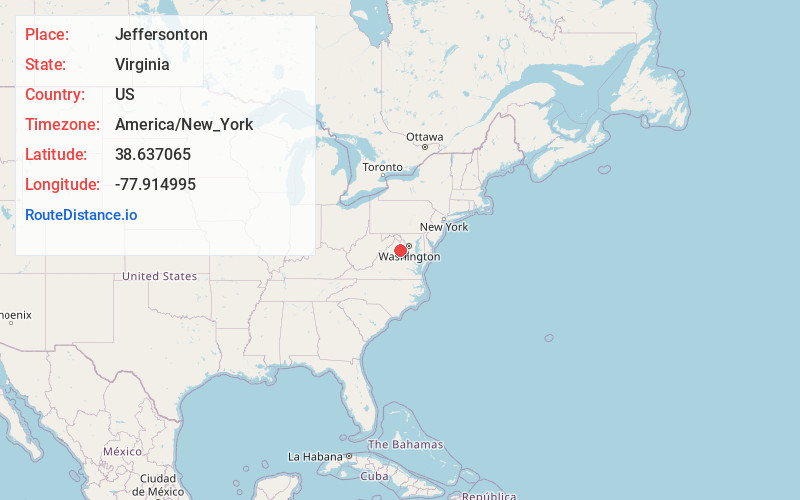
Full AddressJeffersonton, VA 22724
-
Coordinates38.637065, -77.9149952
-
LocationJeffersonton , Virginia , US
-
TimezoneAmerica/New_York
-
Current Local Time3:38:01 PM America/New_YorkThursday, July 3, 2025
-
Page Views0
About Jeffersonton
Jeffersonton is an unincorporated community in Culpeper County, Virginia, United States. Jeffersonton is 12.2 miles north-northeast of Culpeper.
Nearby Places
Found 10 places within 50 miles

Oakshade
3.4 mi
5.5 km
Oakshade, VA 22737
Get directions
Turnbull
3.6 mi
5.8 km
Turnbull, VA 20186
Get directions

Waterloo
4.1 mi
6.6 km
Waterloo, VA 20106
Get directions
Lakota
4.2 mi
6.8 km
Lakota, VA 22734
Get directions
Botha
4.7 mi
7.6 km
Botha, VA 20186
Get directions

Amissville
5.0 mi
8.0 km
Amissville, VA 20106
Get directions

Rixeyville
5.2 mi
8.4 km
Rixeyville, VA 22737
Get directions
Palmers Crossroads
5.3 mi
8.5 km
Palmers Crossroads, VA 20115
Get directions
Korea
5.3 mi
8.5 km
Korea, VA 22737
Get directions
Monumental Mills
5.5 mi
8.9 km
Monumental Mills, VA 22737
Get directions
Location Links
Local Weather
Weather Information
Coming soon!
Location Map
Static map view of Jeffersonton, Virginia
Browse Places by Distance
Places within specific distances from Jeffersonton
Short Distances
Long Distances
Click any distance to see all places within that range from Jeffersonton. Distances shown in miles (1 mile ≈ 1.61 kilometers).