Distance to Botha, Virginia

Calculating Your Route
Just a moment while we process your request...
Location Information
-
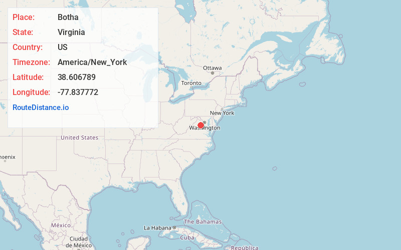
Full AddressBotha, VA 20186
-
Coordinates38.6067885, -77.8377717
-
LocationVirginia , US
-
TimezoneAmerica/New_York
-
Current Local Time12:44:15 PM America/New_YorkSunday, June 1, 2025
-
Page Views0
Nearby Places
Found 10 places within 50 miles

Opal
2.3 mi
3.7 km
Opal, VA
Get directions
Lakota
2.7 mi
4.3 km
Lakota, VA 22734
Get directions

Bealeton
4.1 mi
6.6 km
Bealeton, VA 22712
Get directions
Hurleyville
4.7 mi
7.6 km
Hurleyville, VA 22728
Get directions

Remington
5.3 mi
8.5 km
Remington, VA
Get directions
Balls Mill
5.6 mi
9.0 km
Balls Mill, VA 22728
Get directions

Midland
6.0 mi
9.7 km
Midland, VA 22728
Get directions
Oakshade
6.3 mi
10.1 km
Oakshade, VA 22737
Get directions

Waterloo
7.2 mi
11.6 km
Waterloo, VA 20106
Get directions
Casanova
7.4 mi
11.9 km
Casanova, VA 22728
Get directions
Location Links
Local Weather
Weather Information
Coming soon!
Location Map
Static map view of Botha, Virginia
Browse Places by Distance
Places within specific distances from Botha
Short Distances
Long Distances
Click any distance to see all places within that range from Botha. Distances shown in miles (1 mile ≈ 1.61 kilometers).