Distance to Jeffreys, Missouri

Calculating Your Route
Just a moment while we process your request...
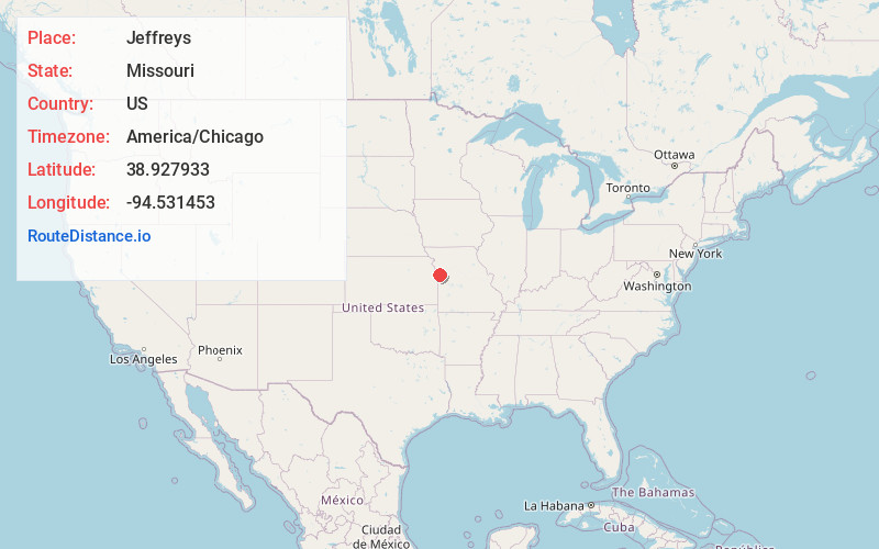
Location Information
-
Full AddressJeffreys, Kansas City, MO 64137
-
Coordinates38.9279326, -94.531453
-
NeighborhoodJeffreys
-
LocationKansas City , Missouri , US
-
TimezoneAmerica/Chicago
-
Current Local Time11:09:47 PM America/ChicagoFriday, June 27, 2025
-
Page Views0
Nearby Places
Found 10 places within 50 miles

Grandview
2.9 mi
4.7 km
Grandview, MO
Get directions

Leawood
5.3 mi
8.5 km
Leawood, KS
Get directions

Kenneth
6.6 mi
10.6 km
Kenneth, Overland Park, KS 66224
Get directions

Raytown
6.7 mi
10.8 km
Raytown, MO
Get directions

Prairie Village
7.0 mi
11.3 km
Prairie Village, KS
Get directions

Unity Village
7.2 mi
11.6 km
Unity Village, MO
Get directions
Loch Lloyd
7.6 mi
12.2 km
Loch Lloyd, MO 64012
Get directions

Mission Hills
7.7 mi
12.4 km
Mission Hills, KS
Get directions

Belton
8.0 mi
12.9 km
Belton, MO 64012
Get directions

Lee's Summit
8.1 mi
13.0 km
Lee's Summit, MO
Get directions
Location Links
Local Weather
Weather Information
Coming soon!
Location Map
Static map view of Jeffreys, Missouri
Browse Places by Distance
Places within specific distances from Jeffreys
Short Distances
Long Distances
Click any distance to see all places within that range from Jeffreys. Distances shown in miles (1 mile ≈ 1.61 kilometers).