Distance to Unity Village, Missouri

Calculating Your Route
Just a moment while we process your request...
Location Information
-
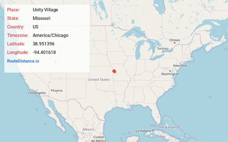
Full AddressUnity Village, MO
-
Coordinates38.9513958, -94.4016176
-
LocationUnity Village , Missouri , US
-
TimezoneAmerica/Chicago
-
Current Local Time6:25:31 AM America/ChicagoSunday, June 22, 2025
-
Page Views0
About Unity Village
Unity Village is a village in Jackson County, Missouri, United States, bordering Kansas City and Lee's Summit. It is part of the Kansas City metropolitan area. Its population was 66 at the 2020 census.


Nearby Places
Found 10 places within 50 miles

Lee's Summit
3.0 mi
4.8 km
Lee's Summit, MO
Get directions

Raytown
5.2 mi
8.4 km
Raytown, MO
Get directions

Lake Tapawingo
6.8 mi
10.9 km
Lake Tapawingo, MO 64015
Get directions

Greenwood
7.6 mi
12.2 km
Greenwood, MO
Get directions

Blue Springs
7.9 mi
12.7 km
Blue Springs, MO
Get directions

Grandview
8.4 mi
13.5 km
Grandview, MO
Get directions

Lake Winnebago
8.6 mi
13.8 km
Lake Winnebago, MO
Get directions

Lake Lotawana
8.7 mi
14.0 km
Lake Lotawana, MO
Get directions

Independence
9.7 mi
15.6 km
Independence, MO
Get directions

Blue Summit
10.4 mi
16.7 km
Blue Summit, MO 64126
Get directions
Location Links
Local Weather
Weather Information
Coming soon!
Location Map
Static map view of Unity Village, Missouri
Browse Places by Distance
Places within specific distances from Unity Village
Short Distances
Long Distances
Click any distance to see all places within that range from Unity Village. Distances shown in miles (1 mile ≈ 1.61 kilometers).