Distance to Jellison Place, Montana

Calculating Your Route
Just a moment while we process your request...
Location Information
-
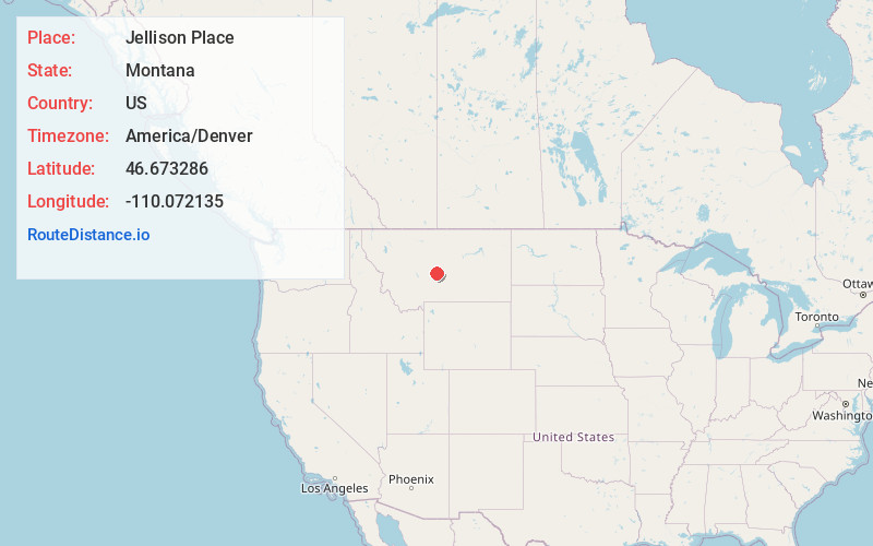
Full AddressJellison Place, MT 59036
-
Coordinates46.6732859, -110.0721353
-
LocationJellison Place , Montana , US
-
TimezoneAmerica/Denver
-
Current Local Time8:23:06 AM America/DenverSaturday, May 31, 2025
-
Page Views0
Nearby Places
Found 10 places within 50 miles

Judith Gap
15.2 mi
24.5 km
Judith Gap, MT 59453
Get directions

Martinsdale Colony
15.7 mi
25.3 km
Martinsdale Colony, MT 59053
Get directions
Duncan Ranch Colony
16.0 mi
25.7 km
Duncan Ranch Colony, MT 59085
Get directions

Garneill
16.1 mi
25.9 km
Garneill, MT 59453
Get directions
McClave
16.9 mi
27.2 km
McClave, MT 59418
Get directions

Sapphire Village
17.2 mi
27.7 km
Sapphire Village, MT 59452
Get directions

Harlowton
19.9 mi
32.0 km
Harlowton, MT 59036
Get directions

Utica
20.4 mi
32.8 km
Utica, MT 59452
Get directions
Springwater Colony
21.1 mi
34.0 km
Springwater Colony, MT 59036
Get directions
Groveland
22.5 mi
36.2 km
Groveland, MT 59053
Get directions
Location Links
Local Weather
Weather Information
Coming soon!
Location Map
Static map view of Jellison Place, Montana
Browse Places by Distance
Places within specific distances from Jellison Place
Short Distances
Long Distances
Click any distance to see all places within that range from Jellison Place. Distances shown in miles (1 mile ≈ 1.61 kilometers).