Distance to Utica, Montana

Calculating Your Route
Just a moment while we process your request...
Location Information
-
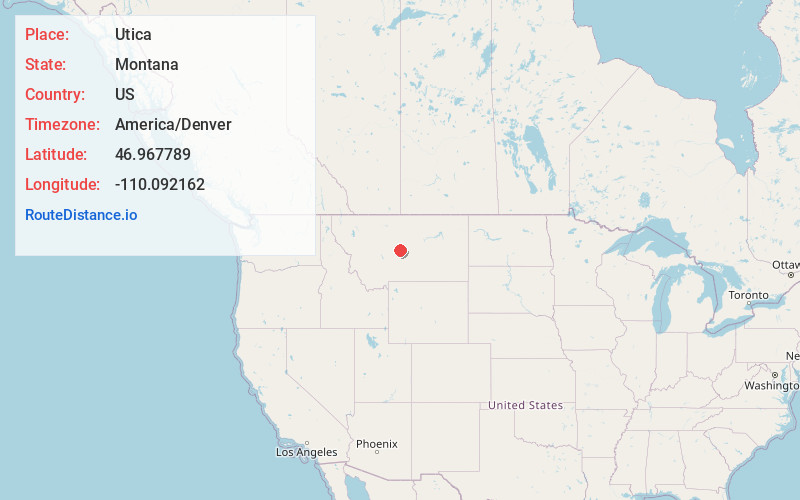
Full AddressUtica, MT 59452
-
Coordinates46.9677892, -110.0921623
-
LocationUtica , Montana , US
-
TimezoneAmerica/Denver
-
Current Local Time9:04:23 AM America/DenverThursday, June 19, 2025
-
Page Views0
About Utica
Utica is an unincorporated community in west-central Judith Basin County, Montana, United States. It is approximately 40 miles from Lewistown at the intersections of Pig Eye Road, Montana Route 239, and Montana Route 541. Yogo sapphires were found near Utica in the mid-1890s.
Judith River Ranger Station is near town.


Nearby Places
Found 10 places within 50 miles

Sapphire Village
9.3 mi
15.0 km
Sapphire Village, MT 59452
Get directions

Moccasin
10.4 mi
16.7 km
Moccasin, MT 59462
Get directions

Hobson
10.6 mi
17.1 km
Hobson, MT 59452
Get directions

Stanford
14.1 mi
22.7 km
Stanford, MT 59479
Get directions

Moore
18.6 mi
29.9 km
Moore, MT 59464
Get directions

Denton
25.2 mi
40.6 km
Denton, MT 59430
Get directions

Judith Gap
25.7 mi
41.4 km
Judith Gap, MT 59453
Get directions
Coffee Creek
26.3 mi
42.3 km
Coffee Creek, MT
Get directions
Geyser
27.6 mi
44.4 km
Geyser, MT 59447
Get directions

Neihart
30.5 mi
49.1 km
Neihart, MT 59465
Get directions
Location Links
Local Weather
Weather Information
Coming soon!
Location Map
Static map view of Utica, Montana
Browse Places by Distance
Places within specific distances from Utica
Short Distances
Long Distances
Click any distance to see all places within that range from Utica. Distances shown in miles (1 mile ≈ 1.61 kilometers).