Distance to Geyser, Montana

Calculating Your Route
Just a moment while we process your request...
Location Information
-
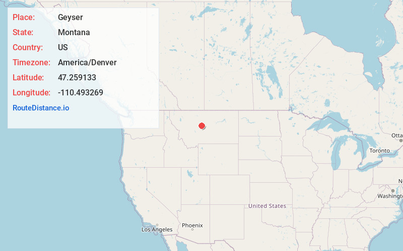
Full AddressGeyser, MT 59447
-
Coordinates47.2591326, -110.4932688
-
LocationGeyser , Montana , US
-
TimezoneAmerica/Denver
-
Current Local Time6:08:31 PM America/DenverSaturday, June 21, 2025
-
Page Views0
About Geyser
Geyser is a small, unincorporated rural village in Judith Basin County, Montana, United States, southeast of Great Falls along U.S. Route 87.
Nearby Places
Found 10 places within 50 miles

Stanford
14.8 mi
23.8 km
Stanford, MT 59479
Get directions

Belt
22.2 mi
35.7 km
Belt, MT 59412
Get directions
Denton
25.9 mi
41.7 km
Denton, MT 59430
Get directions
Geraldine
26.0 mi
41.8 km
Geraldine, MT
Get directions

Highwood
26.5 mi
42.6 km
Highwood, MT 59450
Get directions

Sand Coulee
33.0 mi
53.1 km
Sand Coulee, MT 59472
Get directions

Hobson
34.2 mi
55.0 km
Hobson, MT 59452
Get directions

Malmstrom AFB
36.3 mi
58.4 km
Malmstrom AFB, MT
Get directions
Gibson Flats
38.1 mi
61.3 km
Gibson Flats, MT 59405
Get directions

Fort Benton
40.5 mi
65.2 km
Fort Benton, MT 59442
Get directions
Location Links
Local Weather
Weather Information
Coming soon!
Location Map
Static map view of Geyser, Montana
Browse Places by Distance
Places within specific distances from Geyser
Short Distances
Long Distances
Click any distance to see all places within that range from Geyser. Distances shown in miles (1 mile ≈ 1.61 kilometers).