Distance to Geraldine, Montana

Calculating Your Route
Just a moment while we process your request...
Location Information
-
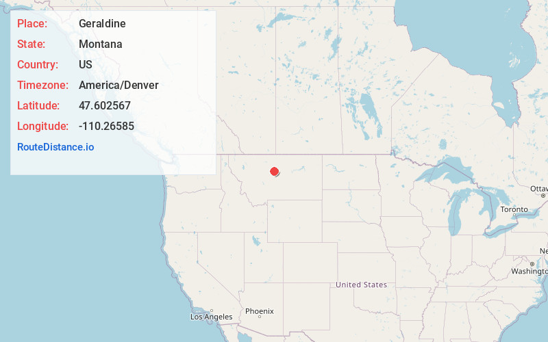
Full AddressGeraldine, MT
-
Coordinates47.6025673, -110.2658502
-
LocationGeraldine , Montana , US
-
TimezoneAmerica/Denver
-
Current Local Time2:18:53 AM America/DenverThursday, May 22, 2025
-
Page Views0
About Geraldine
Geraldine is a town in Chouteau County, Montana, United States. The population was 207 at the 2020 census. The area around the town is an agricultural, largely wheat-producing, region.
Nearby Places
Found 7 places within 50 miles

Fort Benton
24.3 mi
39.1 km
Fort Benton, MT 59442
Get directions

Belt
34.3 mi
55.2 km
Belt, MT 59412
Get directions

Big Sandy
40.4 mi
65.0 km
Big Sandy, MT 59520
Get directions

Malmstrom AFB
43.1 mi
69.4 km
Malmstrom AFB, MT
Get directions

Black Eagle
47.5 mi
76.4 km
Black Eagle, MT
Get directions

Great Falls
48.7 mi
78.4 km
Great Falls, MT
Get directions
St Pierre
49.0 mi
78.9 km
St Pierre, MT 59521
Get directions
Location Links
Local Weather
Weather Information
Coming soon!
Location Map
Static map view of Geraldine, Montana
Browse Places by Distance
Places within specific distances from Geraldine
Short Distances
Long Distances
Click any distance to see all places within that range from Geraldine. Distances shown in miles (1 mile ≈ 1.61 kilometers).