Distance to St Pierre, Montana

Calculating Your Route
Just a moment while we process your request...
Location Information
-
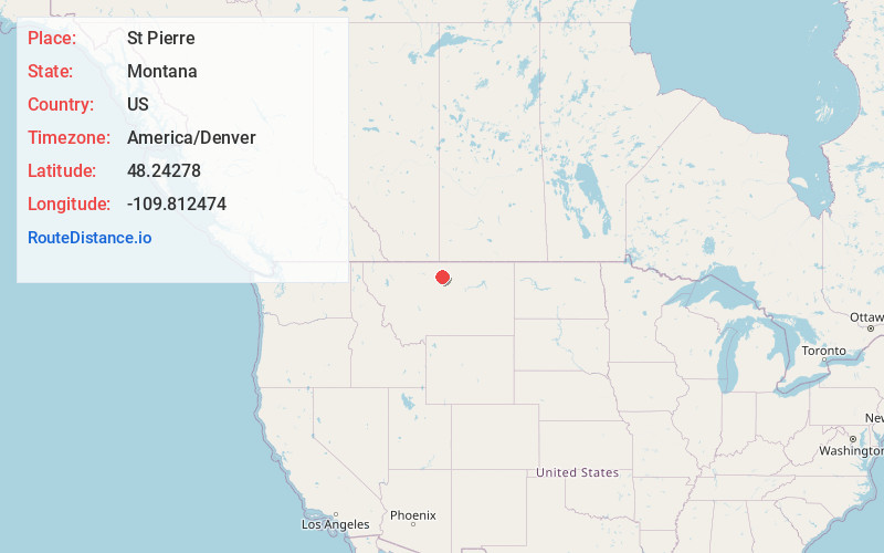
Full AddressSt Pierre, MT 59521
-
Coordinates48.2427804, -109.8124735
-
LocationSt Pierre , Montana , US
-
TimezoneAmerica/Denver
-
Current Local Time1:03:13 AM America/DenverThursday, May 22, 2025
-
Page Views0
About St Pierre
St. Pierre or Saint Pierre is a census-designated place in Hill County, Montana, United States, within the Rocky Boy Indian Reservation. The population of St. Pierre was 350 at the 2010 census, up from 289 in 2000.
Nearby Places
Found 6 places within 50 miles

Sangrey
2.9 mi
4.7 km
Sangrey, MT 59521
Get directions

Big Sandy
14.5 mi
23.3 km
Big Sandy, MT 59520
Get directions

Havre
22.0 mi
35.4 km
Havre, MT 59501
Get directions

Havre North
23.0 mi
37.0 km
Havre North, MT 59501
Get directions

Chinook
35.9 mi
57.8 km
Chinook, MT 59523
Get directions

Fort Benton
48.2 mi
77.6 km
Fort Benton, MT 59442
Get directions
Location Links
Local Weather
Weather Information
Coming soon!
Location Map
Static map view of St Pierre, Montana
Browse Places by Distance
Places within specific distances from St Pierre
Short Distances
Long Distances
Click any distance to see all places within that range from St Pierre. Distances shown in miles (1 mile ≈ 1.61 kilometers).