Distance to Denton, Montana

Calculating Your Route
Just a moment while we process your request...
Location Information
-
Full AddressDenton, MT 59430
-
Coordinates47.3196952, -109.9474185
-
LocationDenton , Montana , US
-
TimezoneAmerica/Denver
-
Current Local Time6:03:59 AM America/DenverFriday, June 20, 2025
-
Page Views0
About Denton
Denton is a town in Fergus County, Montana, United States. The population was 205 at the 2020 census.
Central Montana Rail, Inc. is headquartered in Denton.
Nearby Places
Found 6 places within 50 miles

Geraldine
24.6 mi
39.6 km
Geraldine, MT
Get directions

Moore
26.5 mi
42.6 km
Moore, MT 59464
Get directions
Lewistown Heights
28.7 mi
46.2 km
Lewistown Heights, MT 59457
Get directions

Lewistown
30.2 mi
48.6 km
Lewistown, MT 59457
Get directions
Belt
46.1 mi
74.2 km
Belt, MT 59412
Get directions

Fort Benton
48.6 mi
78.2 km
Fort Benton, MT 59442
Get directions
Location Links
Local Weather
Weather Information
Coming soon!
Location Map
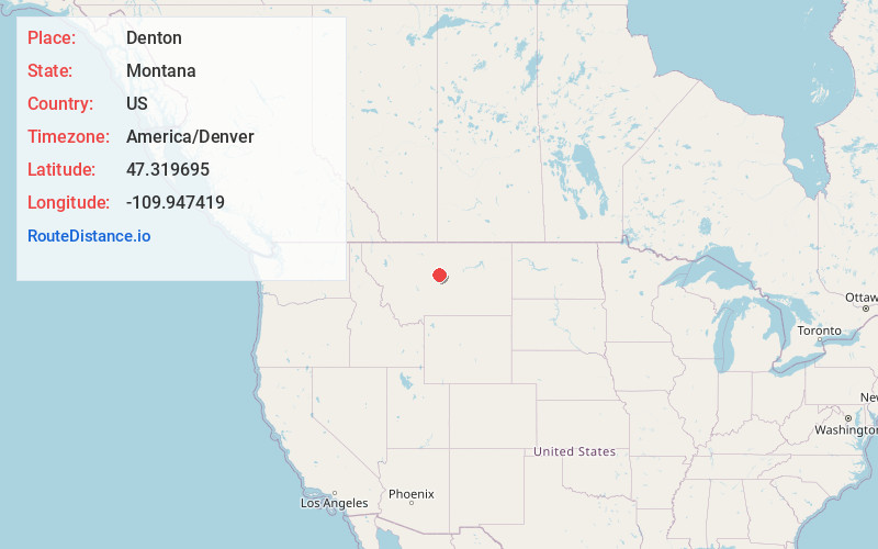
Static map view of Denton, Montana
Browse Places by Distance
Places within specific distances from Denton
Short Distances
Long Distances
Click any distance to see all places within that range from Denton. Distances shown in miles (1 mile ≈ 1.61 kilometers).