Distance to Neihart, Montana

Calculating Your Route
Just a moment while we process your request...
Location Information
-
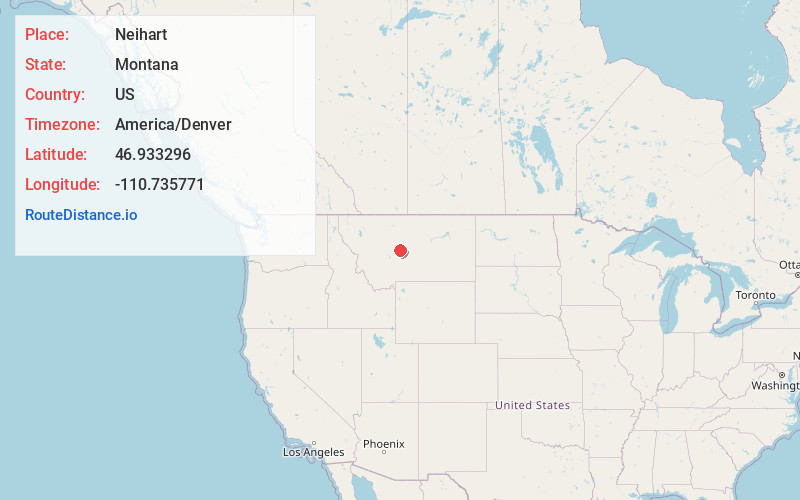
Full AddressNeihart, MT 59465
-
Coordinates46.9332955, -110.7357707
-
LocationNeihart , Montana , US
-
TimezoneAmerica/Denver
-
Current Local Time3:26:49 AM America/DenverWednesday, June 18, 2025
-
Page Views0
About Neihart
Neihart is a town in Cascade County, Montana, United States. It is located in the center of Little Belt Mountains. The population was 43 at the 2020 census. It is part of the Great Falls, Montana, Metropolitan Statistical Area.


Nearby Places
Found 10 places within 50 miles

Raynesford
23.3 mi
37.5 km
Raynesford, MT 59469
Get directions
Geyser
25.2 mi
40.6 km
Geyser, MT 59447
Get directions

White Sulphur Springs
27.7 mi
44.6 km
White Sulphur Springs, MT 59645
Get directions

Stanford
28.7 mi
46.2 km
Stanford, MT 59479
Get directions
Belt
32.6 mi
52.5 km
Belt, MT 59412
Get directions
Pleasant Valley Colony
33.5 mi
53.9 km
Pleasant Valley Colony, MT 59472
Get directions

Sand Coulee
38.0 mi
61.2 km
Sand Coulee, MT 59472
Get directions
Tracy
38.5 mi
62.0 km
Tracy, MT
Get directions

Hobson
41.0 mi
66.0 km
Hobson, MT 59452
Get directions
Gibson Flats
44.1 mi
71.0 km
Gibson Flats, MT 59405
Get directions
Location Links
Local Weather
Weather Information
Coming soon!
Location Map
Static map view of Neihart, Montana
Browse Places by Distance
Places within specific distances from Neihart
Short Distances
Long Distances
Click any distance to see all places within that range from Neihart. Distances shown in miles (1 mile ≈ 1.61 kilometers).