Distance to Jena, Florida

Calculating Your Route
Just a moment while we process your request...
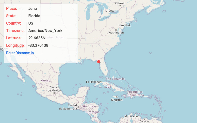
Location Information
-
Full AddressJena, FL 32359
-
Coordinates29.6635601, -83.3701375
-
LocationJena , Florida , US
-
TimezoneAmerica/New_York
-
Current Local Time5:33:21 AM America/New_YorkWednesday, June 18, 2025
-
Page Views0
About Jena
Jena is an unincorporated community on the southern shore of the Steinhatchee River, in Dixie County, Florida, United States, located 33 miles south of Perry. Although unincorporated, Jena has a post office and its ZIP code is 32359.
Nearby Places
Found 10 places within 50 miles

Steinhatchee
1.2 mi
1.9 km
Steinhatchee, FL 32359
Get directions

Jonesboro
5.5 mi
8.9 km
Jonesboro, FL 32359
Get directions

Sink Creek
7.6 mi
12.2 km
Sink Creek, Florida 32359
Get directions
Clara
9.7 mi
15.6 km
Clara, FL 32359
Get directions
Fish Creek
14.8 mi
23.8 km
Fish Creek, FL 32348
Get directions

Cross City
15.0 mi
24.1 km
Cross City, FL 32628
Get directions
Salem
15.6 mi
25.1 km
Salem, FL 32348
Get directions
Dixie County
15.8 mi
25.4 km
Dixie County, FL
Get directions

Horseshoe Beach
16.1 mi
25.9 km
Horseshoe Beach, FL 32648
Get directions

Eugene
17.3 mi
27.8 km
Eugene, FL 32628
Get directions
Location Links
Local Weather
Weather Information
Coming soon!
Location Map
Static map view of Jena, Florida
Browse Places by Distance
Places within specific distances from Jena
Short Distances
Long Distances
Click any distance to see all places within that range from Jena. Distances shown in miles (1 mile ≈ 1.61 kilometers).