Distance to Jenera, Ohio

Calculating Your Route
Just a moment while we process your request...
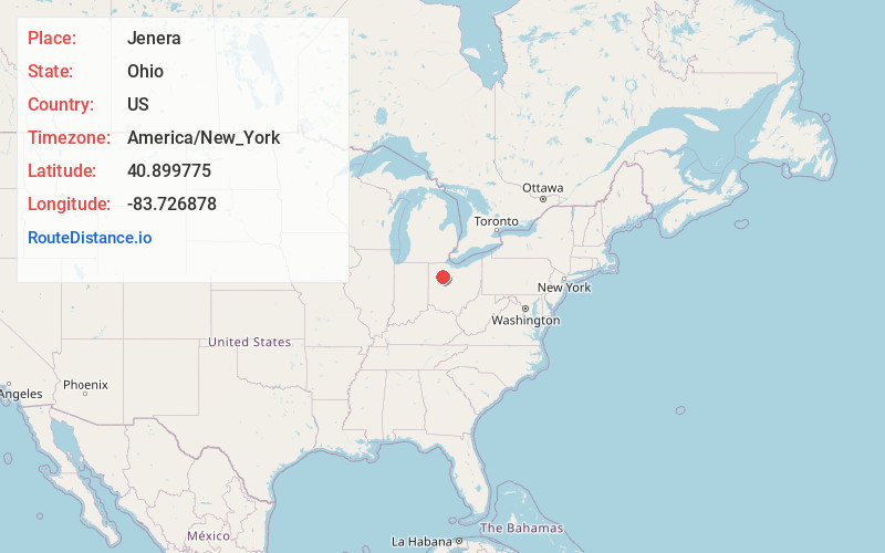
Location Information
-
Full AddressJenera, OH 45841
-
Coordinates40.8997754, -83.7268783
-
LocationJenera , Ohio , US
-
TimezoneAmerica/New_York
-
Current Local Time3:25:31 AM America/New_YorkWednesday, June 18, 2025
-
Page Views0
About Jenera
Jenera is a village in Hancock County, Ohio, United States. The population was 257 at the 2020 census. It is surrounded by Van Buren Township and is part of the Cory-Rawson Local School District.

Nearby Places
Found 10 places within 50 miles

Arlington
4.0 mi
6.4 km
Arlington, OH 45814
Get directions

Rawson
5.1 mi
8.2 km
Rawson, OH 45881
Get directions
Mt Cory
5.6 mi
9.0 km
Mt Cory, OH 45868
Get directions

Benton Ridge
8.1 mi
13.0 km
Benton Ridge, OH
Get directions

Bluffton
8.5 mi
13.7 km
Bluffton, OH 45817
Get directions
Dunkirk
8.6 mi
13.8 km
Dunkirk, OH 45836
Get directions
Mt Blanchard
8.9 mi
14.3 km
Mt Blanchard, OH 45867
Get directions

Ada
10.3 mi
16.6 km
Ada, OH 45810
Get directions

Findlay
10.4 mi
16.7 km
Findlay, OH 45840
Get directions

Pandora
12.7 mi
20.4 km
Pandora, OH 45877
Get directions
Location Links
Local Weather
Weather Information
Coming soon!
Location Map
Static map view of Jenera, Ohio
Browse Places by Distance
Places within specific distances from Jenera
Short Distances
Long Distances
Click any distance to see all places within that range from Jenera. Distances shown in miles (1 mile ≈ 1.61 kilometers).