Distance to Johnson City, Missouri

Calculating Your Route
Just a moment while we process your request...
Location Information
-
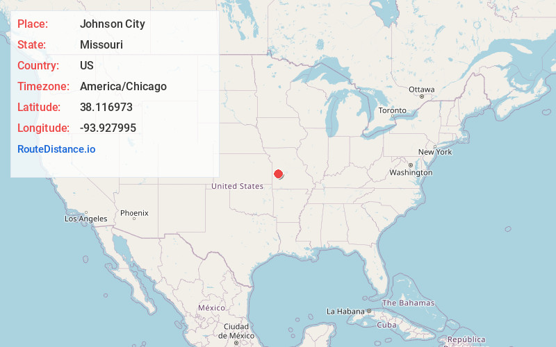
Full AddressJohnson City, Monegaw Township, MO 64724
-
Coordinates38.1169725, -93.9279945
-
LocationMonegaw Township , Missouri , US
-
TimezoneAmerica/Chicago
-
Current Local Time10:57:07 AM America/ChicagoThursday, May 22, 2025
-
Page Views0
About Johnson City
Johnson City is an unincorporated community in St. Clair County, in the U.S. state of Missouri.
Nearby Places
Found 10 places within 50 miles

Iuka Springs
1.4 mi
2.3 km
Iuka Springs, Osage Township, MO 64724
Get directions
Chalk Level
6.6 mi
10.6 km
Chalk Level, Center Township, MO 64776
Get directions
Lindale
6.8 mi
10.9 km
Lindale, Appleton Township, MO 64724
Get directions

Appleton City
7.5 mi
12.1 km
Appleton City, MO 64724
Get directions
Monegaw Springs
7.8 mi
12.6 km
Monegaw Springs, Osage Township, MO 64776
Get directions
Taberville
8.3 mi
13.4 km
Taberville, MO 64780
Get directions
Rockville
8.8 mi
14.2 km
Rockville, MO 64780
Get directions

Montrose
10.2 mi
16.4 km
Montrose, MO 64770
Get directions
Lowry City
11.0 mi
17.7 km
Lowry City, MO 64763
Get directions
Tiffin
11.2 mi
18.0 km
Tiffin, Speedwell Township, MO 64783
Get directions
Location Links
Local Weather
Weather Information
Coming soon!
Location Map
Static map view of Johnson City, Missouri
Browse Places by Distance
Places within specific distances from Johnson City
Short Distances
Long Distances
Click any distance to see all places within that range from Johnson City. Distances shown in miles (1 mile ≈ 1.61 kilometers).