Distance to Johnstown, Kansas

Calculating Your Route
Just a moment while we process your request...
Location Information
-
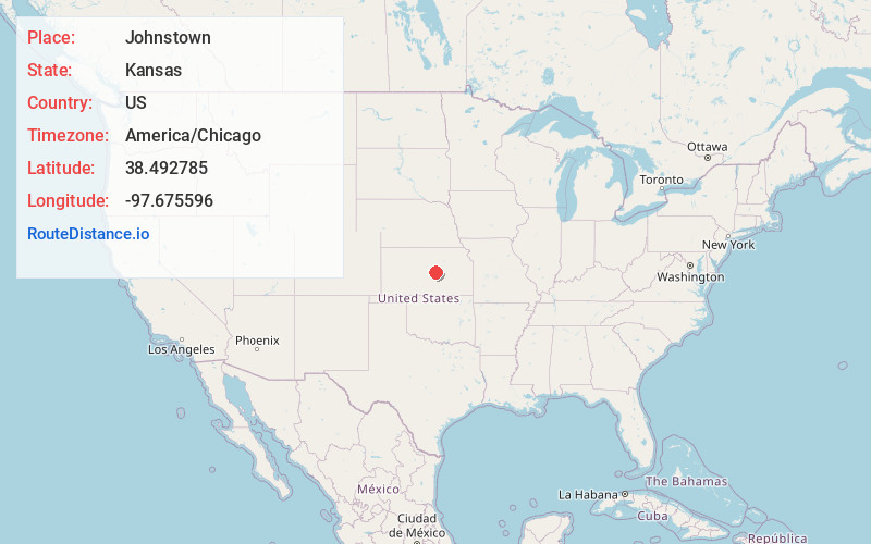
Full AddressJohnstown, KS 67456
-
Coordinates38.4927852, -97.6755958
-
LocationJohnstown , Kansas , US
-
TimezoneAmerica/Chicago
-
Current Local Time6:53:19 PM America/ChicagoThursday, June 19, 2025
-
Page Views0
About Johnstown
Johnstown is a ghost town in McPherson County, Kansas, United States.
Nearby Places
Found 10 places within 50 miles

Lindsborg
5.6 mi
9.0 km
Lindsborg, KS 67456
Get directions

McPherson
8.4 mi
13.5 km
McPherson, KS 67460
Get directions

Marquette
9.6 mi
15.4 km
Marquette, KS 67464
Get directions

Mackie
10.0 mi
16.1 km
Mackie, Union Township, KS 67456
Get directions

Conway
10.4 mi
16.7 km
Conway, KS 67460
Get directions
Galva
10.7 mi
17.2 km
Galva, KS 67443
Get directions
Falun
13.1 mi
21.1 km
Falun, KS 67442
Get directions
Assaria
13.5 mi
21.7 km
Assaria, KS 67416
Get directions

Roxbury
14.0 mi
22.5 km
Roxbury, KS
Get directions
Groveland
14.1 mi
22.7 km
Groveland, KS 67546
Get directions
Location Links
Local Weather
Weather Information
Coming soon!
Location Map
Static map view of Johnstown, Kansas
Browse Places by Distance
Places within specific distances from Johnstown
Short Distances
Long Distances
Click any distance to see all places within that range from Johnstown. Distances shown in miles (1 mile ≈ 1.61 kilometers).