Distance to Joliette, North Dakota

Calculating Your Route
Just a moment while we process your request...
Location Information
-
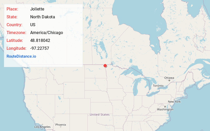
Full AddressJoliette, ND 58271
-
Coordinates48.8180421, -97.2275695
-
LocationJoliette , North Dakota , US
-
TimezoneAmerica/Chicago
-
Current Local Time6:04:41 AM America/ChicagoSaturday, June 14, 2025
-
Page Views0
About Joliette
Joliette is an unincorporated community located along Interstate 29 in Joliette Township in Pembina County in the U.S. state of North Dakota. It was established in 1879 as a rural post office. It was settled by French Canadians and named for Joliette, Quebec, the hometown of the town's first settler.
Nearby Places
Found 10 places within 50 miles

Bowesmont
9.1 mi
14.6 km
Bowesmont, ND 58225
Get directions
Humboldt
9.4 mi
15.1 km
Humboldt, MN 56731
Get directions

Hamilton
10.3 mi
16.6 km
Hamilton, ND 58238
Get directions

Pembina
10.3 mi
16.6 km
Pembina, ND 58271
Get directions
St Vincent
10.3 mi
16.6 km
St Vincent, MN 56755
Get directions
Bathgate
12.0 mi
19.3 km
Bathgate, ND 58216
Get directions
Noyes
12.4 mi
20.0 km
Noyes, MN 56740
Get directions

Hallock
13.1 mi
21.1 km
Hallock, MN 56728
Get directions
Pittsburgh
13.2 mi
21.2 km
Pittsburgh, ND 58225
Get directions
St Thomas
17.0 mi
27.4 km
St Thomas, ND 58276
Get directions
Location Links
Local Weather
Weather Information
Coming soon!
Location Map
Static map view of Joliette, North Dakota
Browse Places by Distance
Places within specific distances from Joliette
Short Distances
Long Distances
Click any distance to see all places within that range from Joliette. Distances shown in miles (1 mile ≈ 1.61 kilometers).