Distance to Jones County, North Carolina

Calculating Your Route
Just a moment while we process your request...
Location Information
-
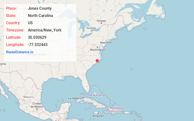
Full AddressJones County, NC
-
Coordinates35.0306293, -77.3324425
-
LocationNorth Carolina , US
-
TimezoneAmerica/New_York
-
Current Local Time5:39:55 PM America/New_YorkTuesday, June 17, 2025
-
Page Views0
About Jones County
Jones County is a county located in the U.S. state of North Carolina. As of the 2020 census, the population was 9,172, making it the fourth-least populous county in North Carolina. Its county seat is Trenton. Jones County is part of the New Bern, NC Micropolitan Statistical Area.


Nearby Places
Found 10 places within 50 miles

Olivers
2.5 mi
4.0 km
Olivers, NC 28585
Get directions

Trenton
2.6 mi
4.2 km
Trenton, NC 28585
Get directions

Pollocksville
6.5 mi
10.5 km
Pollocksville, NC 28573
Get directions
Pollocks
6.6 mi
10.6 km
Pollocks, NC 28585
Get directions
Ravenswood
6.6 mi
10.6 km
Ravenswood, NC 28573
Get directions
Tenmile Fork
7.4 mi
11.9 km
Tenmile Fork, NC 28562
Get directions
Phillips Crossroads
7.5 mi
12.1 km
Phillips Crossroads, NC 28585
Get directions
Rhems
9.2 mi
14.8 km
Rhems, NC 28562
Get directions
Sassers Mill
9.7 mi
15.6 km
Sassers Mill, NC 28526
Get directions
Comfort
10.1 mi
16.3 km
Comfort, NC 28585
Get directions
Location Links
Local Weather
Weather Information
Coming soon!
Location Map
Static map view of Jones County, North Carolina
Browse Places by Distance
Places within specific distances from Jones County
Short Distances
Long Distances
Click any distance to see all places within that range from Jones County. Distances shown in miles (1 mile ≈ 1.61 kilometers).