Distance to Joshua Tree National Park, California

Calculating Your Route
Just a moment while we process your request...
Location Information
-
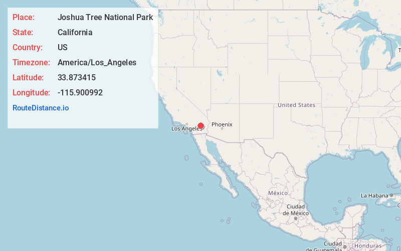
Full AddressJoshua Tree National Park, California
-
Coordinates33.873415, -115.9009923
-
LocationCalifornia , US
-
TimezoneAmerica/Los_Angeles
-
Current Local Time12:52:18 AM America/Los_AngelesMonday, June 23, 2025
-
Website
-
Page Views0
About Joshua Tree National Park
Renowned desert park draws campers & hikers with its geologic wonders & signature Joshua trees.


Nearby Places
Found 10 places within 50 miles

Pinto Wye
12.2 mi
19.6 km
Pinto Wye, CA 92277
Get directions

Cactus City
14.0 mi
22.5 km
Cactus City, CA
Get directions

Chiriaco Summit
17.9 mi
28.8 km
Chiriaco Summit, CA 92201
Get directions

Old Dale
18.2 mi
29.3 km
Old Dale, CA 92277
Get directions

Indio Hills
19.1 mi
30.7 km
Indio Hills, CA 92241
Get directions

Hayfield
19.2 mi
30.9 km
Hayfield, CA 92239
Get directions

Coachella
20.6 mi
33.2 km
Coachella, CA
Get directions

Indio
20.9 mi
33.6 km
Indio, CA
Get directions

Biskra Palms
21.0 mi
33.8 km
Biskra Palms, CA 92241
Get directions

Thermal
21.3 mi
34.3 km
Thermal, CA 92274
Get directions
Location Links
Local Weather
Weather Information
Coming soon!
Location Map
Static map view of Joshua Tree National Park, California
Browse Places by Distance
Places within specific distances from Joshua Tree National Park
Short Distances
Long Distances
Click any distance to see all places within that range from Joshua Tree National Park. Distances shown in miles (1 mile ≈ 1.61 kilometers).