Distance to Hayfield, California

Calculating Your Route
Just a moment while we process your request...
Location Information
-
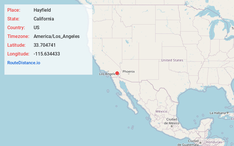
Full AddressHayfield, CA 92239
-
Coordinates33.7047406, -115.634433
-
LocationHayfield , California , US
-
TimezoneAmerica/Los_Angeles
-
Current Local Time1:22:53 PM America/Los_AngelesThursday, May 29, 2025
-
Page Views0


Nearby Places
Found 10 places within 50 miles

Desert Center
13.5 mi
21.7 km
Desert Center, CA
Get directions

North Shore
20.9 mi
33.6 km
North Shore, CA 92254
Get directions

Bombay Beach
25.1 mi
40.4 km
Bombay Beach, CA 92257
Get directions

Mecca
27.1 mi
43.6 km
Mecca, CA
Get directions

Thermal
29.5 mi
47.5 km
Thermal, CA 92274
Get directions

Coachella
31.1 mi
50.1 km
Coachella, CA
Get directions

Desert Shores
31.2 mi
50.2 km
Desert Shores, CA 92274
Get directions

Salton Sea Beach
31.5 mi
50.7 km
Salton Sea Beach, CA 92274
Get directions

Oasis
31.5 mi
50.7 km
Oasis, CA 92274
Get directions

Niland
32.8 mi
52.8 km
Niland, CA
Get directions
Location Links
Local Weather
Weather Information
Coming soon!
Location Map
Static map view of Hayfield, California
Browse Places by Distance
Places within specific distances from Hayfield
Short Distances
Long Distances
Click any distance to see all places within that range from Hayfield. Distances shown in miles (1 mile ≈ 1.61 kilometers).