Distance to Joyland, Arkansas

Calculating Your Route
Just a moment while we process your request...
Location Information
-
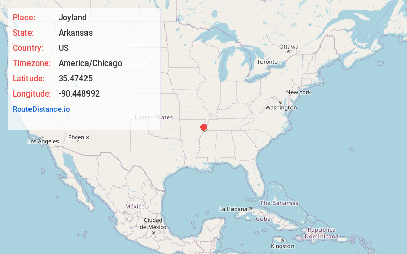
Full AddressJoyland, AR 72365
-
Coordinates35.4742496, -90.4489918
-
LocationArkansas , US
-
TimezoneAmerica/Chicago
-
Current Local Time10:46:31 AM America/ChicagoSaturday, June 21, 2025
-
Page Views0
Nearby Places
Found 10 places within 50 miles

Yellow Banks
0.9 mi
1.4 km
Yellow Banks, AR 72365
Get directions
Northern Ohio
2.0 mi
3.2 km
Northern Ohio, AR 72365
Get directions
Dewey Mill
4.4 mi
7.1 km
Dewey Mill, AR 72386
Get directions

Marked Tree
4.5 mi
7.2 km
Marked Tree, AR
Get directions
Galilee
4.5 mi
7.2 km
Galilee, AR 72386
Get directions

Tyronza
5.2 mi
8.4 km
Tyronza, AR 72386
Get directions

Payneway
5.7 mi
9.2 km
Payneway, AR 72472
Get directions
Dub
6.1 mi
9.8 km
Dub, AR 72386
Get directions
Beasley
7.1 mi
11.4 km
Beasley, AR 72386
Get directions
Wilbeth
7.4 mi
11.9 km
Wilbeth, AR 72365
Get directions
Location Links
Local Weather
Weather Information
Coming soon!
Location Map
Static map view of Joyland, Arkansas
Browse Places by Distance
Places within specific distances from Joyland
Short Distances
Long Distances
Click any distance to see all places within that range from Joyland. Distances shown in miles (1 mile ≈ 1.61 kilometers).