Distance to Juniata, Nebraska

Calculating Your Route
Just a moment while we process your request...
Location Information
-
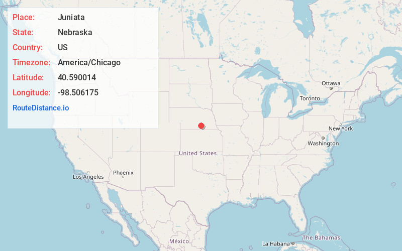
Full AddressJuniata, NE 68955
-
Coordinates40.5900139, -98.5061754
-
LocationJuniata , Nebraska , US
-
TimezoneAmerica/Chicago
-
Current Local Time10:28:06 PM America/ChicagoThursday, June 19, 2025
-
Page Views0
About Juniata
Juniata is a village in Adams County, Nebraska, United States. The population was 744 at the 2020 census. It is part of the Hastings, Nebraska Micropolitan Statistical Area.
Nearby Places
Found 10 places within 50 miles

Hastings
6.1 mi
9.8 km
Hastings, NE
Get directions

Kenesaw
8.2 mi
13.2 km
Kenesaw, NE 68956
Get directions

Doniphan
14.5 mi
23.3 km
Doniphan, NE 68832
Get directions

Wood River
16.7 mi
26.9 km
Wood River, NE 68883
Get directions

Shelton
17.6 mi
28.3 km
Shelton, NE
Get directions
Blue Hill
18.0 mi
29.0 km
Blue Hill, NE 68930
Get directions

Gibbon
21.0 mi
33.8 km
Gibbon, NE 68840
Get directions
Harvard
21.5 mi
34.6 km
Harvard, NE 68944
Get directions

Minden
24.0 mi
38.6 km
Minden, NE
Get directions

Clay Center
24.1 mi
38.8 km
Clay Center, NE 68933
Get directions
Location Links
Local Weather
Weather Information
Coming soon!
Location Map
Static map view of Juniata, Nebraska
Browse Places by Distance
Places within specific distances from Juniata
Short Distances
Long Distances
Click any distance to see all places within that range from Juniata. Distances shown in miles (1 mile ≈ 1.61 kilometers).