Distance to Juno, Georgia

Calculating Your Route
Just a moment while we process your request...
Location Information
-
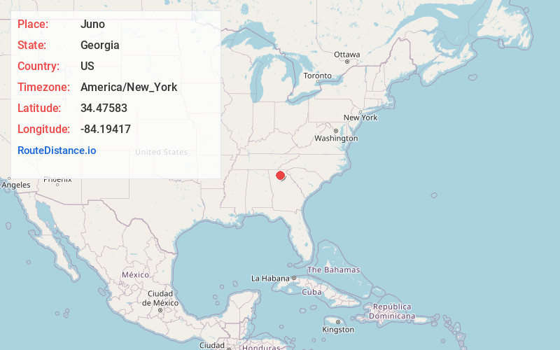
Full AddressJuno, GA 30534
-
Coordinates34.47583, -84.19417
-
LocationJuno , Georgia , US
-
TimezoneAmerica/New_York
-
Current Local Time3:25:48 AM America/New_YorkThursday, June 19, 2025
-
Page Views0
About Juno
Juno is an unincorporated community in Dawson County, Georgia, United States. It lies along State Route 183 to the northwest of the city of Dawsonville, the county seat of Dawson County. Its elevation is 1,493 feet.
Nearby Places
Found 10 places within 50 miles

Dawsonville
5.7 mi
9.2 km
Dawsonville, GA 30534
Get directions

Holcomb
6.6 mi
10.6 km
Holcomb, GA 30107
Get directions
Auraria
9.7 mi
15.6 km
Auraria, GA 30533
Get directions
Daniels
10.5 mi
16.9 km
Daniels, GA 30107
Get directions

Tate
11.5 mi
18.5 km
Tate, GA 30177
Get directions
Grandview
11.5 mi
18.5 km
Grandview, GA 30143
Get directions

Cane Creek Falls
11.9 mi
19.2 km
Cane Creek Falls, Dahlonega, GA 30533
Get directions
Nelson
12.0 mi
19.3 km
Nelson, GA
Get directions

Dahlonega
12.4 mi
20.0 km
Dahlonega, GA 30533
Get directions
Matt
12.5 mi
20.1 km
Matt, GA 30040
Get directions
Location Links
Local Weather
Weather Information
Coming soon!
Location Map
Static map view of Juno, Georgia
Browse Places by Distance
Places within specific distances from Juno
Short Distances
Long Distances
Click any distance to see all places within that range from Juno. Distances shown in miles (1 mile ≈ 1.61 kilometers).