Distance to K. I. Sawyer AFB, Michigan

Calculating Your Route
Just a moment while we process your request...
Location Information
-
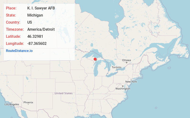
Full AddressK. I. Sawyer AFB, MI
-
Coordinates46.3298104, -87.3656023
-
LocationK. I. Sawyer AFB , Michigan , US
-
TimezoneAmerica/Detroit
-
Current Local Time10:45:36 AM America/DetroitSaturday, May 31, 2025
-
Page Views0
About K. I. Sawyer AFB
K. I. Sawyer Air Force Base is a decommissioned United States Air Force installation in Marquette County, Michigan, south of the city of Marquette. Near the center of Michigan's Upper Peninsula, the base operated for nearly forty years and closed in 1995.


Nearby Places
Found 7 places within 50 miles

Harvey
11.2 mi
18.0 km
Harvey, MI 49855
Get directions

Marquette
14.8 mi
23.8 km
Marquette, MI 49855
Get directions

Negaunee
16.9 mi
27.2 km
Negaunee, MI 49866
Get directions

Ishpeming
18.1 mi
29.1 km
Ishpeming, MI 49849
Get directions

Gladstone
36.9 mi
59.4 km
Gladstone, MI 49837
Get directions

Escanaba
42.9 mi
69.0 km
Escanaba, MI 49829
Get directions

Iron Mountain
48.6 mi
78.2 km
Iron Mountain, MI
Get directions
Location Links
Local Weather
Weather Information
Coming soon!
Location Map
Static map view of K. I. Sawyer AFB, Michigan
Browse Places by Distance
Places within specific distances from K. I. Sawyer AFB
Short Distances
Long Distances
Click any distance to see all places within that range from K. I. Sawyer AFB. Distances shown in miles (1 mile ≈ 1.61 kilometers).