Distance to Kalgary, Texas

Calculating Your Route
Just a moment while we process your request...
Location Information
-
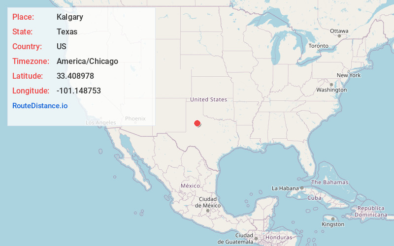
Full AddressKalgary, TX 79356
-
Coordinates33.408978, -101.1487532
-
LocationKalgary , Texas , US
-
TimezoneAmerica/Chicago
-
Current Local Time11:03:56 AM America/ChicagoTuesday, May 20, 2025
-
Page Views0
About Kalgary
Kalgary is an unincorporated community in Crosby County, Texas, United States. According to the Handbook of Texas, the community had an estimated population of 70 in 2000. Kalgary is part of the Lubbock metropolitan area.
Nearby Places
Found 10 places within 50 miles

Canyon Valley
10.8 mi
17.4 km
Canyon Valley, TX 79356
Get directions
Cap Rock
15.5 mi
24.9 km
Cap Rock, TX 79357
Get directions

Garza County
15.9 mi
25.6 km
Garza County, TX
Get directions

Spur
17.5 mi
28.2 km
Spur, TX 79370
Get directions

Crosbyton
18.1 mi
29.1 km
Crosbyton, TX 79322
Get directions

Post
20.1 mi
32.3 km
Post, TX 79356
Get directions
Savage
20.7 mi
33.3 km
Savage, TX 79357
Get directions
Buenos
21.0 mi
33.8 km
Buenos, TX 79356
Get directions
Augustus
21.1 mi
34.0 km
Augustus, TX 79356
Get directions

Ralls
23.1 mi
37.2 km
Ralls, TX 79357
Get directions
Location Links
Local Weather
Weather Information
Coming soon!
Location Map
Static map view of Kalgary, Texas
Browse Places by Distance
Places within specific distances from Kalgary
Short Distances
Long Distances
Click any distance to see all places within that range from Kalgary. Distances shown in miles (1 mile ≈ 1.61 kilometers).