Distance to Kane Spring, California

Calculating Your Route
Just a moment while we process your request...
Location Information
-
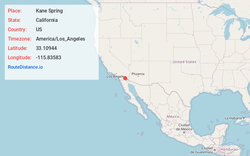
Full AddressKane Spring, CA 92004
-
Coordinates33.10944, -115.83583
-
LocationKane Spring , California , US
-
TimezoneAmerica/Los_Angeles
-
Current Local Time12:49:18 PM America/Los_AngelesTuesday, June 24, 2025
-
Page Views0
About Kane Spring
Kane Spring is a spring in Imperial County, California.
It is located 1.9 km south-southwest of San Felipe Wash and 8 km west of the southwestern extension of the Salton Sea, at an elevation of 141 feet below sea level.
In 1774, the Anza Expedition stopped at Kane Spring.
Nearby Places
Found 10 places within 50 miles

Westmorland
13.4 mi
21.6 km
Westmorland, CA
Get directions

Salton City
14.8 mi
23.8 km
Salton City, CA 92274
Get directions

Bombay Beach
17.8 mi
28.6 km
Bombay Beach, CA 92257
Get directions

Calipatria
18.6 mi
29.9 km
Calipatria, CA 92233
Get directions

Hovley
19.7 mi
31.7 km
Hovley, CA 92227
Get directions

Brawley
19.9 mi
32.0 km
Brawley, CA 92227
Get directions

Niland
20.4 mi
32.8 km
Niland, CA
Get directions

Salton Sea Beach
21.0 mi
33.8 km
Salton Sea Beach, CA 92274
Get directions
Coolidge Springs
23.3 mi
37.5 km
Coolidge Springs, CA 92274
Get directions

Seeley
23.4 mi
37.7 km
Seeley, CA
Get directions
Location Links
Local Weather
Weather Information
Coming soon!
Location Map
Static map view of Kane Spring, California
Browse Places by Distance
Places within specific distances from Kane Spring
Short Distances
Long Distances
Click any distance to see all places within that range from Kane Spring. Distances shown in miles (1 mile ≈ 1.61 kilometers).