Distance to Kapoho, Hawaii

Calculating Your Route
Just a moment while we process your request...
Location Information
-
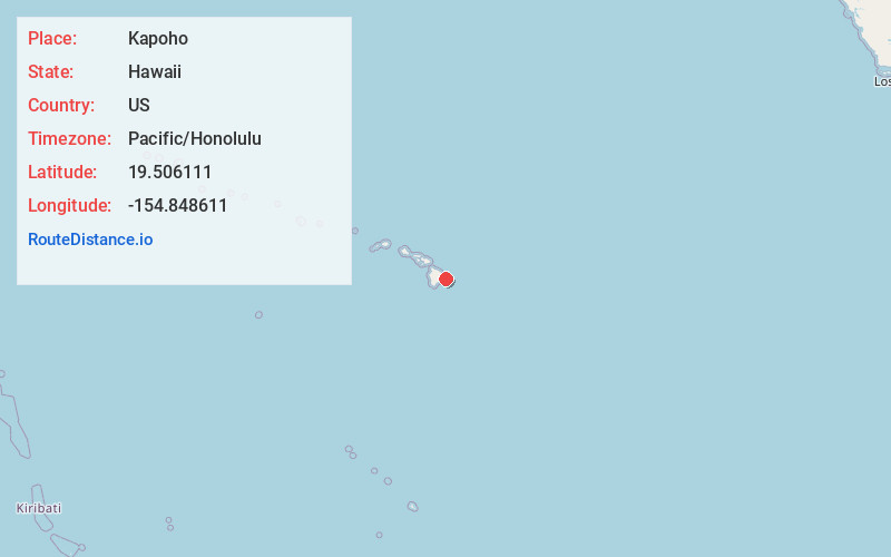
Full AddressKapoho, HI 96778
-
Coordinates19.506111, -154.8486111
-
LocationHawaii , US
-
TimezonePacific/Honolulu
-
Current Local Time9:53:08 AM Pacific/HonoluluThursday, June 19, 2025
-
Page Views0
About Kapoho
Kapoho, Hawaii, is a now-uninhabited unincorporated area in Puna district, Hawaii County, Hawaii, US, located near the eastern tip of the island of Hawaii, in the easternmost subaerial end of the graben overlying Kīlauea's east rift zone.

Nearby Places
Found 10 places within 50 miles

Nanawale Estates
4.3 mi
6.9 km
Nanawale Estates, HI 96778
Get directions

Hawaiian Beaches
4.6 mi
7.4 km
Hawaiian Beaches, HI 96778
Get directions

Leilani Estates
5.1 mi
8.2 km
Leilani Estates, HI 96778
Get directions

Kaniahiku Village
5.2 mi
8.4 km
Kaniahiku Village, Pāhoa, HI 96778
Get directions

Pāhoa
6.6 mi
10.6 km
Pāhoa, HI 96778
Get directions

Hawaiian Paradise Park
9.3 mi
15.0 km
Hawaiian Paradise Park, HI
Get directions

Kehena
9.4 mi
15.1 km
Kehena, HI 96778
Get directions
Ainaloa
9.6 mi
15.4 km
Ainaloa, HI 96778
Get directions
Orchidlands Estates
11.6 mi
18.7 km
Orchidlands Estates, HI
Get directions

Kalapana
12.6 mi
20.3 km
Kalapana, HI 96778
Get directions
Location Links
Local Weather
Weather Information
Coming soon!
Location Map
Static map view of Kapoho, Hawaii
Browse Places by Distance
Places within specific distances from Kapoho
Short Distances
Long Distances
Click any distance to see all places within that range from Kapoho. Distances shown in miles (1 mile ≈ 1.61 kilometers).