Distance to Karl, Colorado

Calculating Your Route
Just a moment while we process your request...
Location Information
-
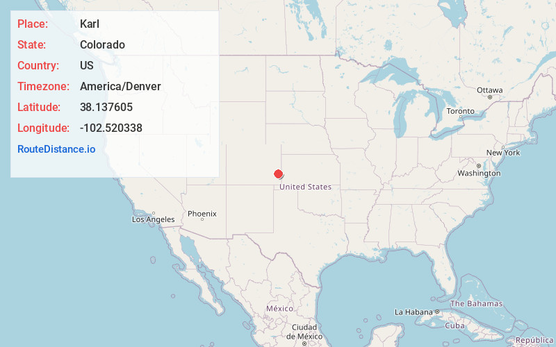
Full AddressKarl, CO 81047
-
Coordinates38.1376051, -102.5203375
-
LocationKarl , Colorado , US
-
TimezoneAmerica/Denver
-
Current Local Time4:19:48 AM America/DenverFriday, June 6, 2025
-
Page Views1
Nearby Places
Found 10 places within 50 miles

West Farm
3.7 mi
6.0 km
West Farm, CO 81052
Get directions
Goodale
4.8 mi
7.7 km
Goodale, CO 81047
Get directions
Culp
4.8 mi
7.7 km
Culp, CO 81052
Get directions

Lamar
6.5 mi
10.5 km
Lamar, CO 81052
Get directions
Grote
6.7 mi
10.8 km
Grote, CO 81052
Get directions
Parrish
7.5 mi
12.1 km
Parrish, CO 81047
Get directions

Wiley
10.9 mi
17.5 km
Wiley, CO 81092
Get directions
Bristol
11.4 mi
18.3 km
Bristol, CO 81047
Get directions
Granada
12.5 mi
20.1 km
Granada, CO 81041
Get directions
Warwick
13.4 mi
21.6 km
Warwick, CO 81047
Get directions
Location Links
Local Weather
Weather Information
Coming soon!
Location Map
Static map view of Karl, Colorado
Browse Places by Distance
Places within specific distances from Karl
Short Distances
Long Distances
Click any distance to see all places within that range from Karl. Distances shown in miles (1 mile ≈ 1.61 kilometers).