Distance to Culp, Colorado

Calculating Your Route
Just a moment while we process your request...
Location Information
-
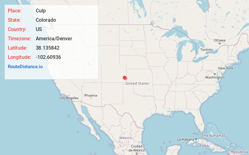
Full AddressCulp, CO 81052
-
Coordinates38.1358419, -102.6093603
-
LocationColorado , US
-
TimezoneAmerica/Denver
-
Current Local Time5:55:37 PM America/DenverThursday, June 19, 2025
-
Page Views0
Nearby Places
Found 10 places within 50 miles

Lamar
3.4 mi
5.5 km
Lamar, CO 81052
Get directions

Wiley
6.1 mi
9.8 km
Wiley, CO 81092
Get directions

McClave
13.1 mi
21.1 km
McClave, CO 81057
Get directions
Granada
17.0 mi
27.4 km
Granada, CO 81041
Get directions
Hartman
21.2 mi
34.1 km
Hartman, CO
Get directions
Brandon
23.3 mi
37.5 km
Brandon, CO 81071
Get directions

Eads
25.6 mi
41.2 km
Eads, CO 81036
Get directions

Holly
27.1 mi
43.6 km
Holly, CO 81047
Get directions
Sheridan Lake
28.6 mi
46.0 km
Sheridan Lake, CO 81071
Get directions

Coolidge
33.3 mi
53.6 km
Coolidge, KS 67836
Get directions
Location Links
Local Weather
Weather Information
Coming soon!
Location Map
Static map view of Culp, Colorado
Browse Places by Distance
Places within specific distances from Culp
Short Distances
Long Distances
Click any distance to see all places within that range from Culp. Distances shown in miles (1 mile ≈ 1.61 kilometers).