Distance to Karlstad, Minnesota

Calculating Your Route
Just a moment while we process your request...
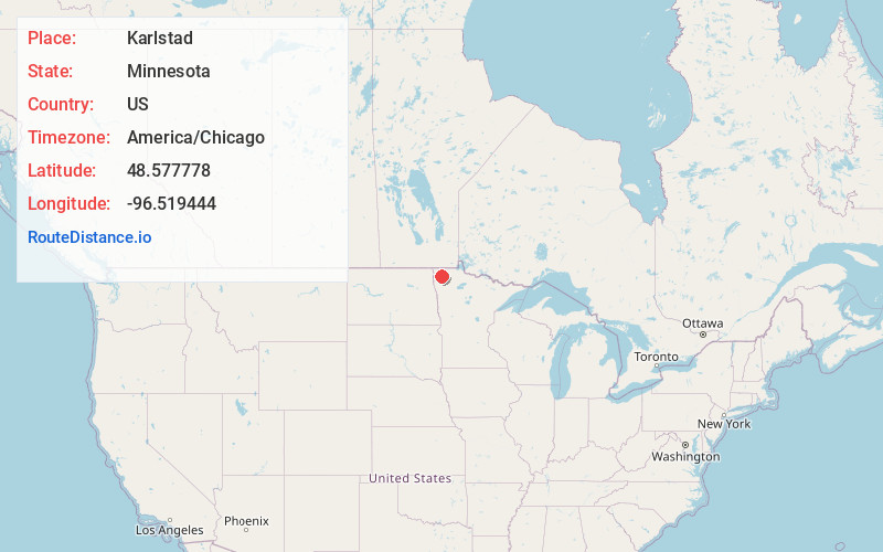
Location Information
-
Full AddressKarlstad, MN 56732
-
Coordinates48.5777778, -96.5194444
-
LocationKarlstad , Minnesota , US
-
TimezoneAmerica/Chicago
-
Current Local Time3:49:25 AM America/ChicagoThursday, June 26, 2025
-
Website
-
Page Views0
About Karlstad
Karlstad is a city in Kittson County, Minnesota, United States. The population was 710 at the 2020 census.
U.S. Route 59 and Minnesota State Highway 11 are two of the main arterial routes in the city. The city's slogan is "The Moose Capital of the North".
Nearby Places
Found 7 places within 50 miles

Greenbush
17.6 mi
28.3 km
Greenbush, MN 56726
Get directions

Hallock
23.8 mi
38.3 km
Hallock, MN 56728
Get directions

Warren
28.8 mi
46.3 km
Warren, MN 56762
Get directions

Drayton
30.1 mi
48.4 km
Drayton, ND 58225
Get directions

Roseau
39.2 mi
63.1 km
Roseau, MN 56751
Get directions
Grafton
42.4 mi
68.2 km
Grafton, ND 58237
Get directions

Red Lake Falls
49.4 mi
79.5 km
Red Lake Falls, MN 56750
Get directions
Location Links
Local Weather
Weather Information
Coming soon!
Location Map
Static map view of Karlstad, Minnesota
Browse Places by Distance
Places within specific distances from Karlstad
Short Distances
Long Distances
Click any distance to see all places within that range from Karlstad. Distances shown in miles (1 mile ≈ 1.61 kilometers).