Distance to Katama, Massachusetts

Calculating Your Route
Just a moment while we process your request...
Location Information
-
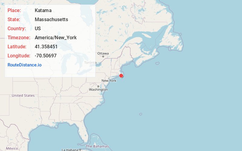
Full AddressKatama, Edgartown, MA 02539
-
Coordinates41.3584511, -70.5069704
-
LocationEdgartown , Massachusetts , US
-
TimezoneAmerica/New_York
-
Current Local Time3:30:56 AM America/New_YorkMonday, June 23, 2025
-
Page Views0
About Katama
Katama is a residential area in the town of Edgartown, Massachusetts, on the south shore of the island of Martha's Vineyard. It is bordered on the west by Edgartown Great Pond, on the east by Katama Bay and on the south by the Atlantic Ocean.
The word "Katama" comes from a Wampanoag word meaning "crab-fishing place."


Nearby Places
Found 10 places within 50 miles

West Opening
1.0 mi
1.6 km
West Opening, Edgartown, MA 02539
Get directions

Edgartown
2.4 mi
3.9 km
Edgartown, MA
Get directions
Ocean Heights
4.0 mi
6.4 km
Ocean Heights, Edgartown, MA 02568
Get directions
Lagoon Heights
7.4 mi
11.9 km
Lagoon Heights, Oak Bluffs, MA 02568
Get directions

Oak Bluffs
7.4 mi
11.9 km
Oak Bluffs, MA
Get directions
Oklahoma Heights
7.7 mi
12.4 km
Oklahoma Heights, Tisbury, MA 02568
Get directions

Tisbury
8.7 mi
14.0 km
Tisbury, MA
Get directions

West Tisbury
8.8 mi
14.2 km
West Tisbury, MA
Get directions

Chilmark
12.3 mi
19.8 km
Chilmark, MA
Get directions

Falmouth
14.5 mi
23.3 km
Falmouth, MA
Get directions
Location Links
Local Weather
Weather Information
Coming soon!
Location Map
Static map view of Katama, Massachusetts
Browse Places by Distance
Places within specific distances from Katama
Short Distances
Long Distances
Click any distance to see all places within that range from Katama. Distances shown in miles (1 mile ≈ 1.61 kilometers).