Distance to Katie, Oklahoma

Calculating Your Route
Just a moment while we process your request...
Location Information
-
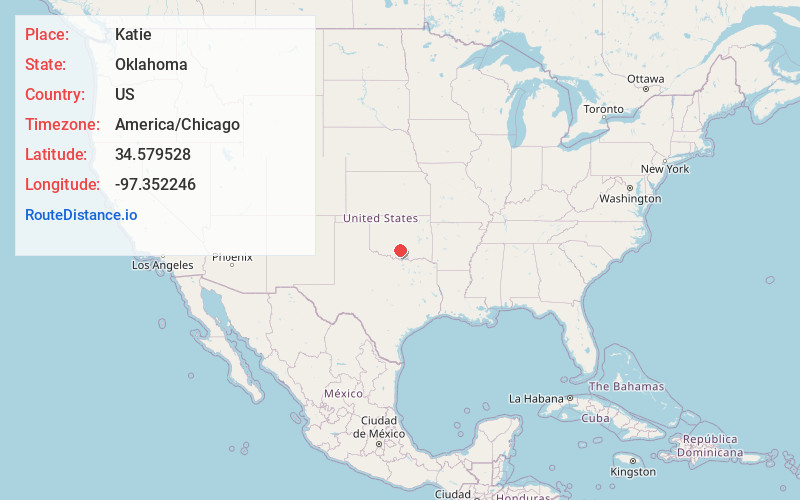
Full AddressKatie, OK 73433
-
Coordinates34.5795275, -97.3522459
-
LocationKatie , Oklahoma , US
-
TimezoneAmerica/Chicago
-
Current Local Time12:46:20 AM America/ChicagoThursday, June 19, 2025
-
Page Views0
About Katie
Katie is a town in Garvin County, Oklahoma, United States. The town is 69 miles south of Oklahoma City. It was incorporated in 2004 and had a population of 348 at the 2010 census. On May 9, 2016, an EF4 tornado touched down in the southern part of Katie, and tracked to the east, causing one death and several injuries.


Nearby Places
Found 10 places within 50 miles

Elmore City
3.9 mi
6.3 km
Elmore City, OK 73433
Get directions

Wynnewood
11.2 mi
18.0 km
Wynnewood, OK 73098
Get directions

Pauls Valley
13.3 mi
21.4 km
Pauls Valley, OK
Get directions

Davis
14.2 mi
22.9 km
Davis, OK 73030
Get directions

Maysville
16.7 mi
26.9 km
Maysville, OK
Get directions

Paoli
17.9 mi
28.8 km
Paoli, OK 73074
Get directions

Velma
20.1 mi
32.3 km
Velma, OK 73491
Get directions

Springer
21.9 mi
35.2 km
Springer, OK
Get directions

Sulphur
22.4 mi
36.0 km
Sulphur, OK 73086
Get directions

Lindsay
22.7 mi
36.5 km
Lindsay, OK 73052
Get directions
Location Links
Local Weather
Weather Information
Coming soon!
Location Map
Static map view of Katie, Oklahoma
Browse Places by Distance
Places within specific distances from Katie
Short Distances
Long Distances
Click any distance to see all places within that range from Katie. Distances shown in miles (1 mile ≈ 1.61 kilometers).