Distance to Keats, Kansas

Calculating Your Route
Just a moment while we process your request...
Location Information
-
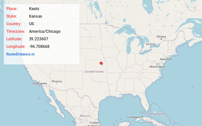
Full AddressKeats, KS 66503
-
Coordinates39.2236071, -96.7086677
-
LocationKeats , Kansas , US
-
TimezoneAmerica/Chicago
-
Current Local Time8:54:21 PM America/ChicagoThursday, June 19, 2025
-
Page Views0
About Keats
Keats is a census-designated place in Wildcat Township, Riley County, Kansas, United States. As of the 2020 census, the population was 96. It is located five miles west of Manhattan.
Nearby Places
Found 10 places within 50 miles

Ogden
7.8 mi
12.6 km
Ogden, KS
Get directions

Manhattan
7.9 mi
12.7 km
Manhattan, KS
Get directions

Riley
8.4 mi
13.5 km
Riley, KS 66531
Get directions

Milford
11.5 mi
18.5 km
Milford, KS 66514
Get directions

Leonardville
12.6 mi
20.3 km
Leonardville, KS 66449
Get directions

Junction City
15.0 mi
24.1 km
Junction City, KS
Get directions

St George
15.6 mi
25.1 km
St George, KS 66535
Get directions

Wakefield
16.4 mi
26.4 km
Wakefield, KS 67487
Get directions

Westmoreland
19.7 mi
31.7 km
Westmoreland, KS 66549
Get directions

Wamego
21.7 mi
34.9 km
Wamego, KS 66547
Get directions
Location Links
Local Weather
Weather Information
Coming soon!
Location Map
Static map view of Keats, Kansas
Browse Places by Distance
Places within specific distances from Keats
Short Distances
Long Distances
Click any distance to see all places within that range from Keats. Distances shown in miles (1 mile ≈ 1.61 kilometers).