Distance to Wakefield, Kansas

Calculating Your Route
Just a moment while we process your request...
Location Information
-
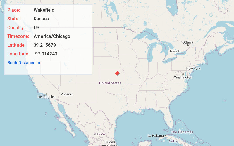
Full AddressWakefield, KS 67487
-
Coordinates39.2156788, -97.0142427
-
LocationWakefield , Kansas , US
-
TimezoneAmerica/Chicago
-
Current Local Time2:35:55 AM America/ChicagoSaturday, June 21, 2025
-
Website
-
Page Views0
About Wakefield
Wakefield is a city in Clay County, Kansas, United States. As of the 2020 census, the population of the city was 858.


Nearby Places
Found 10 places within 50 miles

Clay Center
12.6 mi
20.3 km
Clay Center, KS 67432
Get directions

Junction City
16.2 mi
26.1 km
Junction City, KS
Get directions

Chapman
16.8 mi
27.0 km
Chapman, KS 67431
Get directions

Ogden
18.0 mi
29.0 km
Ogden, KS
Get directions

Abilene
23.2 mi
37.3 km
Abilene, KS 67410
Get directions

Manhattan
23.7 mi
38.1 km
Manhattan, KS
Get directions

Solomon
28.0 mi
45.1 km
Solomon, KS 67480
Get directions

St George
31.8 mi
51.2 km
St George, KS 66535
Get directions

Blue Rapids
37.4 mi
60.2 km
Blue Rapids, KS 66411
Get directions

Minneapolis
37.7 mi
60.7 km
Minneapolis, KS 67467
Get directions
Location Links
Local Weather
Weather Information
Coming soon!
Location Map
Static map view of Wakefield, Kansas
Browse Places by Distance
Places within specific distances from Wakefield
Short Distances
Long Distances
Click any distance to see all places within that range from Wakefield. Distances shown in miles (1 mile ≈ 1.61 kilometers).