Distance to Keeler Township, Michigan

Calculating Your Route
Just a moment while we process your request...
Location Information
-
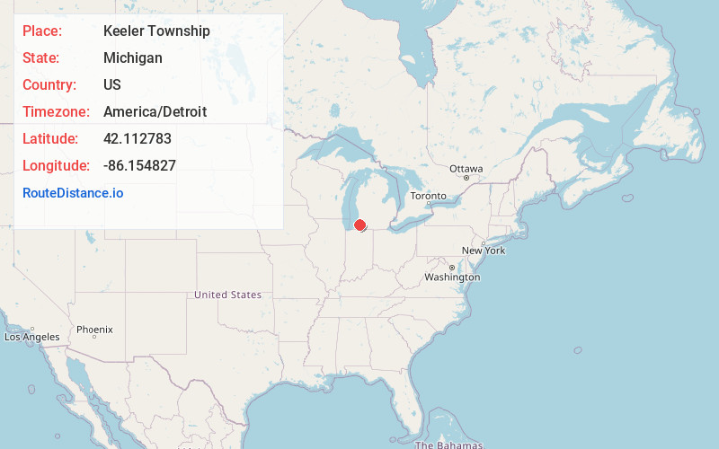
Full AddressKeeler Township, MI
-
Coordinates42.1127832, -86.1548269
-
LocationKeeler Township , Michigan , US
-
TimezoneAmerica/Detroit
-
Current Local Time8:41:47 AM America/DetroitSaturday, June 7, 2025
-
Page Views0
About Keeler Township
Keeler Township is a civil township in Van Buren County, Michigan, USA. At the 2020 census, the population was 1,968.
Keeler Township is largely agricultural, though it has a large influx of summer visitors who own cottages or stay at summer resorts in the Sister Lakes area in the township's southwest corner.


Nearby Places
Found 10 places within 50 miles

Hartford
6.5 mi
10.5 km
Hartford, MI 49057
Get directions

Glenwood
7.4 mi
11.9 km
Glenwood, Wayne Township, MI 49047
Get directions

Watervliet
7.4 mi
11.9 km
Watervliet, MI 49098
Get directions
Naomi
7.7 mi
12.4 km
Naomi, Pipestone Township, MI 49111
Get directions

Lawrence
9.1 mi
14.6 km
Lawrence, MI 49064
Get directions

Paw Paw Lake
9.1 mi
14.6 km
Paw Paw Lake, MI
Get directions

Dowagiac
9.2 mi
14.8 km
Dowagiac, MI 49047
Get directions

Decatur
9.3 mi
15.0 km
Decatur, MI 49045
Get directions

Coloma
9.4 mi
15.1 km
Coloma, MI 49038
Get directions

Little Paw Paw Lake
10.1 mi
16.3 km
Little Paw Paw Lake, Paw Paw Lake, MI 49038
Get directions
Location Links
Local Weather
Weather Information
Coming soon!
Location Map
Static map view of Keeler Township, Michigan
Browse Places by Distance
Places within specific distances from Keeler Township
Short Distances
Long Distances
Click any distance to see all places within that range from Keeler Township. Distances shown in miles (1 mile ≈ 1.61 kilometers).