Distance to Dowagiac, Michigan

Calculating Your Route
Just a moment while we process your request...
Location Information
-
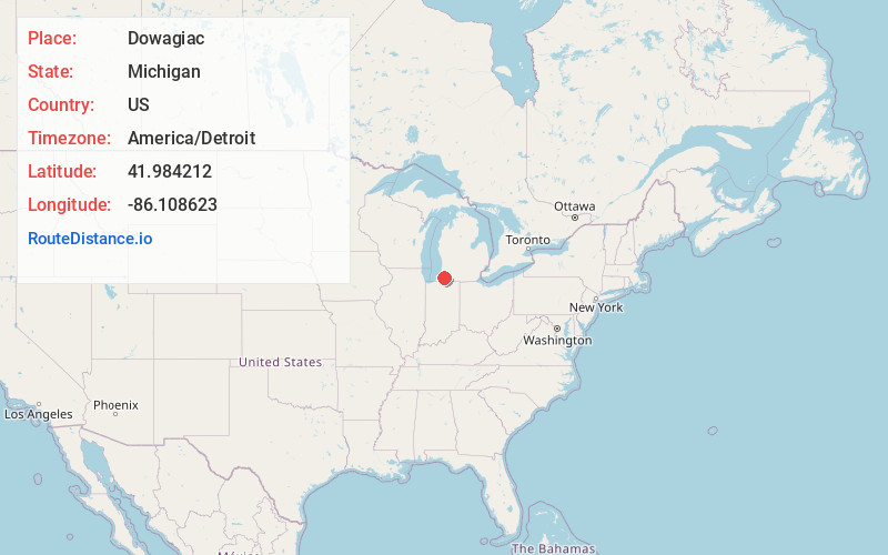
Full AddressDowagiac, MI 49047
-
Coordinates41.9842123, -86.1086228
-
LocationDowagiac , Michigan , US
-
TimezoneAmerica/Detroit
-
Current Local Time9:38:54 AM America/DetroitThursday, June 5, 2025
-
Page Views0
About Dowagiac
Dowagiac is a city in Cass County in the U.S. state of Michigan. The population was 5,721 at the 2020 census. It is part of the South Bend–Mishawaka, IN-MI, Metropolitan Statistical Area.


Nearby Places
Found 10 places within 50 miles

Niles
13.0 mi
20.9 km
Niles, MI 49120
Get directions

Granger
16.0 mi
25.7 km
Granger, IN
Get directions

Fair Plain
19.2 mi
30.9 km
Fair Plain, MI 49022
Get directions

Benton Harbor
20.0 mi
32.2 km
Benton Harbor, MI
Get directions

Notre Dame
20.7 mi
33.3 km
Notre Dame, IN 46556
Get directions

St Joseph
21.0 mi
33.8 km
St Joseph, MI 49085
Get directions

Elkhart
21.7 mi
34.9 km
Elkhart, IN
Get directions

Mishawaka
22.4 mi
36.0 km
Mishawaka, IN
Get directions

South Bend
22.5 mi
36.2 km
South Bend, IN
Get directions

Three Rivers
24.6 mi
39.6 km
Three Rivers, MI 49093
Get directions
Location Links
Local Weather
Weather Information
Coming soon!
Location Map
Static map view of Dowagiac, Michigan
Browse Places by Distance
Places within specific distances from Dowagiac
Short Distances
Long Distances
Click any distance to see all places within that range from Dowagiac. Distances shown in miles (1 mile ≈ 1.61 kilometers).