Distance to Keen Mountain, Virginia

Calculating Your Route
Just a moment while we process your request...
Location Information
-
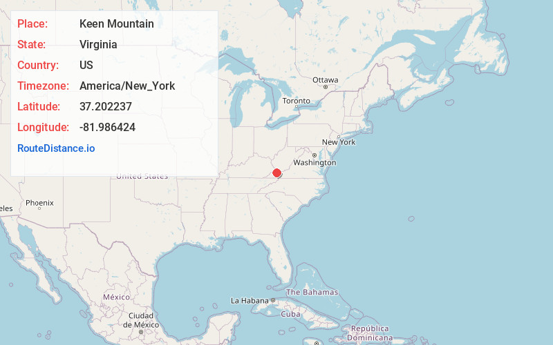
Full AddressKeen Mountain, VA 24631
-
Coordinates37.2022366, -81.9864244
-
LocationKeen Mountain , Virginia , US
-
TimezoneAmerica/New_York
-
Current Local Time5:23:55 AM America/New_YorkWednesday, June 18, 2025
-
Page Views0
About Keen Mountain
Keen Mountain is an unincorporated community in Buchanan County, Virginia, United States, located on U.S. Route 460, just south of the community of Oakwood.
The Keen Mountain post office was established in 1937. The community was named in honor of William Keen and family, pioneer settlers.
Nearby Places
Found 10 places within 50 miles

Mavisdale
1.2 mi
1.9 km
Mavisdale, VA 24631
Get directions
Oakwood
1.3 mi
2.1 km
Oakwood, VA 24631
Get directions
Marvin
2.6 mi
4.2 km
Marvin, VA 24639
Get directions
Janey
2.8 mi
4.5 km
Janey, VA 24631
Get directions
Skeggs
2.9 mi
4.7 km
Skeggs, VA 24631
Get directions
Roth
3.0 mi
4.8 km
Roth, VA 24631
Get directions
Patterson
4.3 mi
6.9 km
Patterson, VA 24631
Get directions
Clell
4.6 mi
7.4 km
Clell, VA 24631
Get directions
Hale Creek
4.7 mi
7.6 km
Hale Creek, VA 24631
Get directions
Grimsleyville
5.2 mi
8.4 km
Grimsleyville, VA 24639
Get directions
Location Links
Local Weather
Weather Information
Coming soon!
Location Map
Static map view of Keen Mountain, Virginia
Browse Places by Distance
Places within specific distances from Keen Mountain
Short Distances
Long Distances
Click any distance to see all places within that range from Keen Mountain. Distances shown in miles (1 mile ≈ 1.61 kilometers).