Distance to Keene, Nebraska

Calculating Your Route
Just a moment while we process your request...
Location Information
-
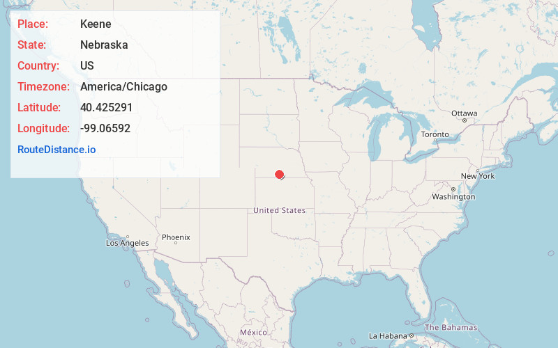
Full AddressKeene, NE 68924
-
Coordinates40.4252909, -99.0659199
-
LocationKeene , Nebraska , US
-
TimezoneAmerica/Chicago
-
Current Local Time12:18:08 AM America/ChicagoFriday, June 20, 2025
-
Page Views0
About Keene
Keene is an unincorporated rural hamlet in Kearney County, Nebraska, United States. The hamlet consists of a large granary co-op, a church and four homes.
Nearby Places
Found 10 places within 50 miles

Axtell
4.8 mi
7.7 km
Axtell, NE 68924
Get directions

Hildreth
6.3 mi
10.1 km
Hildreth, NE 68947
Get directions
Wilcox
6.9 mi
11.1 km
Wilcox, NE 68982
Get directions

Minden
8.0 mi
12.9 km
Minden, NE
Get directions
Funk
10.0 mi
16.1 km
Funk, NE 68940
Get directions
Sacramento
11.1 mi
17.9 km
Sacramento, Precinct 5, NE 68949
Get directions
Upland
11.3 mi
18.2 km
Upland, NE 68981
Get directions
Ragan
14.2 mi
22.9 km
Ragan, NE 68969
Get directions
Norman
14.9 mi
24.0 km
Norman, NE 68959
Get directions

Holdrege
16.0 mi
25.7 km
Holdrege, NE 68949
Get directions
Location Links
Local Weather
Weather Information
Coming soon!
Location Map
Static map view of Keene, Nebraska
Browse Places by Distance
Places within specific distances from Keene
Short Distances
Long Distances
Click any distance to see all places within that range from Keene. Distances shown in miles (1 mile ≈ 1.61 kilometers).