Distance to Axtell, Nebraska

Calculating Your Route
Just a moment while we process your request...
Location Information
-
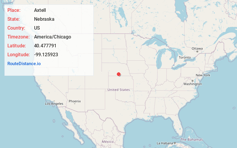
Full AddressAxtell, NE 68924
-
Coordinates40.4777906, -99.1259225
-
LocationAxtell , Nebraska , US
-
TimezoneAmerica/Chicago
-
Current Local Time9:45:11 PM America/ChicagoSaturday, May 31, 2025
-
Page Views0
About Axtell
Axtell is a village in western Kearney County, Nebraska, United States. It is part of the Kearney, Nebraska Micropolitan Statistical Area. The population was 732 at the 2020 census.


Nearby Places
Found 10 places within 50 miles

Minden
9.5 mi
15.3 km
Minden, NE
Get directions

Holdrege
13.1 mi
21.1 km
Holdrege, NE 68949
Get directions

Kearney
15.5 mi
24.9 km
Kearney, NE
Get directions

Elm Creek
21.1 mi
34.0 km
Elm Creek, NE 68836
Get directions

Gibbon
23.8 mi
38.3 km
Gibbon, NE 68840
Get directions

Kenesaw
26.5 mi
42.6 km
Kenesaw, NE 68956
Get directions

Franklin
27.9 mi
44.9 km
Franklin, NE 68939
Get directions

Alma
29.1 mi
46.8 km
Alma, NE 68920
Get directions

Shelton
29.4 mi
47.3 km
Shelton, NE
Get directions

Oxford
31.0 mi
49.9 km
Oxford, NE 68967
Get directions
Location Links
Local Weather
Weather Information
Coming soon!
Location Map
Static map view of Axtell, Nebraska
Browse Places by Distance
Places within specific distances from Axtell
Short Distances
Long Distances
Click any distance to see all places within that range from Axtell. Distances shown in miles (1 mile ≈ 1.61 kilometers).