Distance to Keevil, Arkansas

Calculating Your Route
Just a moment while we process your request...
Location Information
-
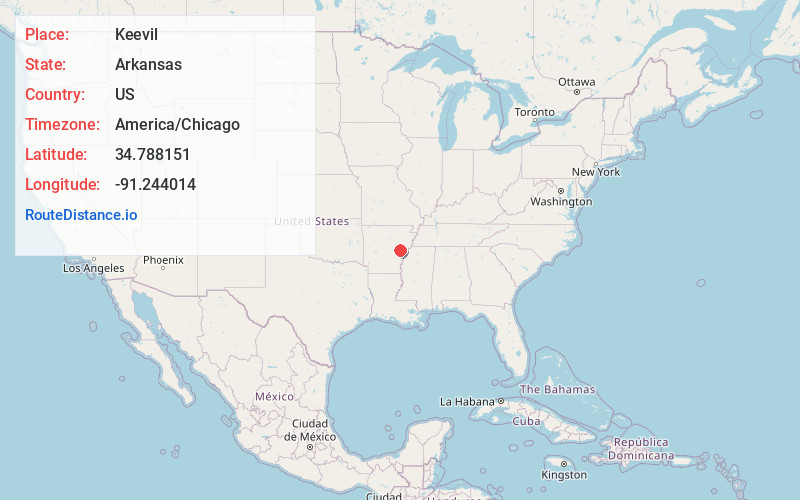
Full AddressKeevil, AR 72021
-
Coordinates34.788151, -91.2440144
-
LocationKeevil , Arkansas , US
-
TimezoneAmerica/Chicago
-
Current Local Time7:50:55 PM America/ChicagoWednesday, June 18, 2025
-
Page Views0
About Keevil
Keevil is an unincorporated community in Monroe County, Arkansas, United States. Keevil is located on Arkansas Highway 17, 7.4 miles south-southwest of Brinkley.
The Keevil depot on the St. Louis Southwestern Railway was at milepost 207.10 of the Jonesboro Sub-Division.
Nearby Places
Found 10 places within 50 miles

Allendale
2.0 mi
3.2 km
Allendale, AR 72021
Get directions
Bayless
2.7 mi
4.3 km
Bayless, AR 72021
Get directions
Emmons
5.2 mi
8.4 km
Emmons, AR 72368
Get directions
Eden
5.5 mi
8.9 km
Eden, AR 72021
Get directions
Dagmar
5.7 mi
9.2 km
Dagmar, AR 72021
Get directions
Alfrey
5.8 mi
9.3 km
Alfrey, AR 72021
Get directions
Rich
6.3 mi
10.1 km
Rich, AR 72021
Get directions
Park Grove
6.9 mi
11.1 km
Park Grove, AR 72029
Get directions

Brinkley
7.4 mi
11.9 km
Brinkley, AR 72021
Get directions

Clarendon
7.6 mi
12.2 km
Clarendon, AR
Get directions
Location Links
Local Weather
Weather Information
Coming soon!
Location Map
Static map view of Keevil, Arkansas
Browse Places by Distance
Places within specific distances from Keevil
Short Distances
Long Distances
Click any distance to see all places within that range from Keevil. Distances shown in miles (1 mile ≈ 1.61 kilometers).