Distance to and from Keezletown, Virginia
Keezletown, VA
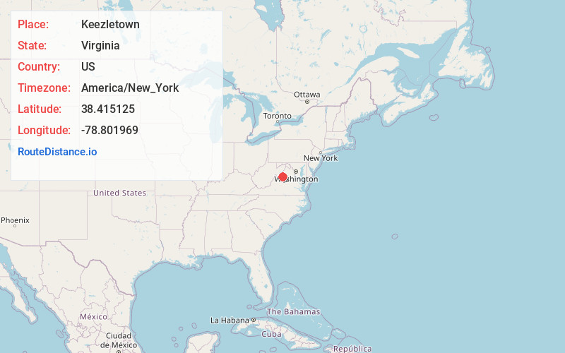
Keezletown
Virginia
US
America/New_York
Location Information
-
Full AddressKeezletown, VA
-
Coordinates38.4151254, -78.801969
-
LocationKeezletown , Virginia , US
-
TimezoneAmerica/New_York
-
Current Local Time3:32:39 AM America/New_YorkSunday, May 4, 2025
-
Page Views0
Directions to Nearest Cities
About Keezletown
Keezletown is a census-designated place in Rockingham County, in the U.S. state of Virginia. It is located northeast of Harrisonburg. It is for the first time listed as such for the 2020 United States census.
Nearby Places
Found 10 places within 50 miles

Massanetta Springs
2.1 mi
3.4 km
Massanetta Springs, VA
Get directions

Massanutten
3.5 mi
5.6 km
Massanutten, VA
Get directions

Harrisonburg
4.2 mi
6.8 km
Harrisonburg, VA
Get directions

McGaheysville
4.8 mi
7.7 km
McGaheysville, VA 22840
Get directions
Belmont Estates
6.8 mi
10.9 km
Belmont Estates, VA 22801
Get directions

Dayton
7.4 mi
11.9 km
Dayton, VA
Get directions

Elkton
9.7 mi
15.6 km
Elkton, VA 22827
Get directions

Bridgewater
9.7 mi
15.6 km
Bridgewater, VA
Get directions

Grottoes
10.3 mi
16.6 km
Grottoes, VA 24441
Get directions

Weyers Cave
10.6 mi
17.1 km
Weyers Cave, VA
Get directions
Massanetta Springs
2.1 mi
3.4 km
Massanetta Springs, VA
Massanutten
3.5 mi
5.6 km
Massanutten, VA
Harrisonburg
4.2 mi
6.8 km
Harrisonburg, VA
McGaheysville
4.8 mi
7.7 km
McGaheysville, VA 22840
Belmont Estates
6.8 mi
10.9 km
Belmont Estates, VA 22801
Dayton
7.4 mi
11.9 km
Dayton, VA
Elkton
9.7 mi
15.6 km
Elkton, VA 22827
Bridgewater
9.7 mi
15.6 km
Bridgewater, VA
Grottoes
10.3 mi
16.6 km
Grottoes, VA 24441
Weyers Cave
10.6 mi
17.1 km
Weyers Cave, VA
Location Links
Local Weather
Weather Information
Coming soon!
Location Map
Static map view of Keezletown, Virginia
Browse Places by Distance
Places within specific distances from Keezletown
Short Distances
Long Distances
Click any distance to see all places within that range from Keezletown. Distances shown in miles (1 mile ≈ 1.61 kilometers).