Distance to Kellerville, North Carolina

Calculating Your Route
Just a moment while we process your request...
Location Information
-
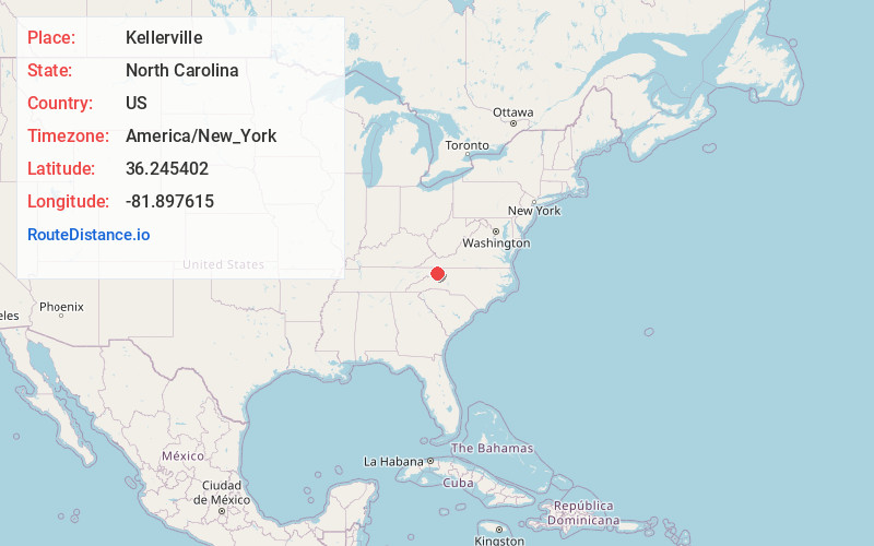
Full AddressKellerville, NC 28679
-
Coordinates36.2454024, -81.8976148
-
LocationNorth Carolina , US
-
TimezoneAmerica/New_York
-
Current Local Time10:27:32 PM America/New_YorkTuesday, June 17, 2025
-
Page Views0
Nearby Places
Found 10 places within 50 miles

Beech Creek
0.9 mi
1.4 km
Beech Creek, NC 28622
Get directions
Battleground
1.9 mi
3.1 km
Battleground, NC 28622
Get directions
Flat Springs
2.1 mi
3.4 km
Flat Springs, NC 28622
Get directions

Beech Mountain
2.4 mi
3.9 km
Beech Mountain, NC
Get directions

Peoria
3.1 mi
5.0 km
Peoria, NC 28679
Get directions
Poga
3.4 mi
5.5 km
Poga, TN 37640
Get directions
Rominger
3.6 mi
5.8 km
Rominger, NC 28604
Get directions
Leander
3.6 mi
5.8 km
Leander, NC 28679
Get directions
Farmer Mill
3.8 mi
6.1 km
Farmer Mill, TN 37640
Get directions
Elk Valley
5.1 mi
8.2 km
Elk Valley, NC 28604
Get directions
Location Links
Local Weather
Weather Information
Coming soon!
Location Map
Static map view of Kellerville, North Carolina
Browse Places by Distance
Places within specific distances from Kellerville
Short Distances
Long Distances
Click any distance to see all places within that range from Kellerville. Distances shown in miles (1 mile ≈ 1.61 kilometers).