Distance to and from Leander, North Carolina
Leander, NC 28679
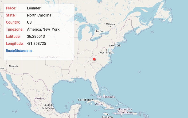
North Carolina
US
America/New_York
Location Information
-
Full AddressLeander, NC 28679
-
Coordinates36.2865131, -81.8587254
-
LocationNorth Carolina , US
-
TimezoneAmerica/New_York
-
Current Local Time1:23:32 AM America/New_YorkSunday, May 4, 2025
-
Page Views0
Directions to Nearest Cities
Nearby Places
Found 10 places within 50 miles

Forest Grove
3.0 mi
4.8 km
Forest Grove, NC 28692
Get directions

Beech Mountain
5.5 mi
8.9 km
Beech Mountain, NC
Get directions

Valle Crucis
7.0 mi
11.3 km
Valle Crucis, NC
Get directions
Crackers Neck
7.8 mi
12.6 km
Crackers Neck, TN 37683
Get directions
Lovill
7.8 mi
12.6 km
Lovill, NC 28692
Get directions
Elk Valley
8.4 mi
13.5 km
Elk Valley, NC 28604
Get directions

Banner Elk
8.6 mi
13.8 km
Banner Elk, NC 28604
Get directions

Seven Devils
10.0 mi
16.1 km
Seven Devils, NC 28604
Get directions

Foscoe
10.1 mi
16.3 km
Foscoe, NC
Get directions

Meat Camp
10.2 mi
16.4 km
Meat Camp, NC 28684
Get directions
Forest Grove
3.0 mi
4.8 km
Forest Grove, NC 28692
Beech Mountain
5.5 mi
8.9 km
Beech Mountain, NC
Valle Crucis
7.0 mi
11.3 km
Valle Crucis, NC
Crackers Neck
7.8 mi
12.6 km
Crackers Neck, TN 37683
Lovill
7.8 mi
12.6 km
Lovill, NC 28692
Elk Valley
8.4 mi
13.5 km
Elk Valley, NC 28604
Banner Elk
8.6 mi
13.8 km
Banner Elk, NC 28604
Seven Devils
10.0 mi
16.1 km
Seven Devils, NC 28604
Foscoe
10.1 mi
16.3 km
Foscoe, NC
Meat Camp
10.2 mi
16.4 km
Meat Camp, NC 28684
Location Links
Local Weather
Weather Information
Coming soon!
Location Map
Static map view of Leander, North Carolina
Browse Places by Distance
Places within specific distances from Leander
Short Distances
Long Distances
Click any distance to see all places within that range from Leander. Distances shown in miles (1 mile ≈ 1.61 kilometers).