Distance to Kelleys Island, Ohio

Calculating Your Route
Just a moment while we process your request...
Location Information
-
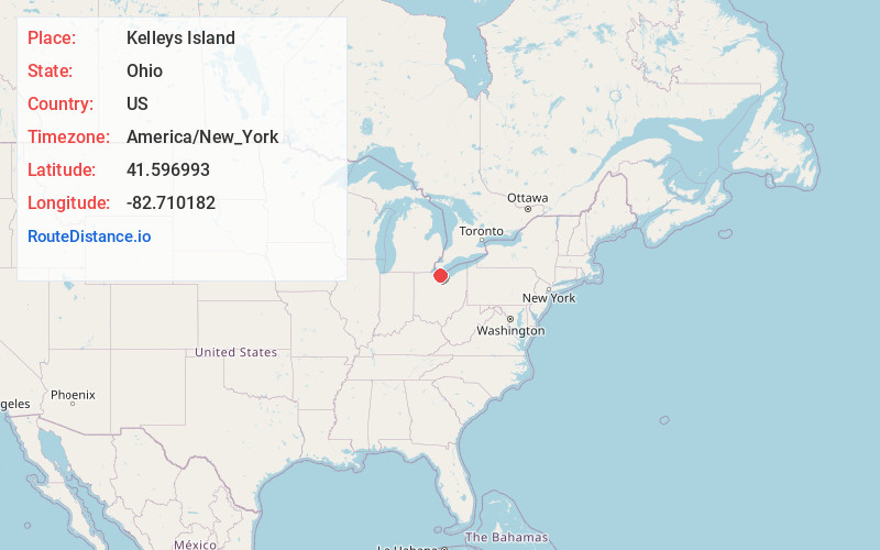
Full AddressKelleys Island, OH 43438
-
Coordinates41.5969932, -82.7101823
-
LocationKelleys Island , Ohio , US
-
TimezoneAmerica/New_York
-
Current Local Time11:37:27 AM America/New_YorkThursday, June 19, 2025
-
Website
-
Page Views0
About Kelleys Island
Kelleys Island is both a village in Erie County, Ohio, and the island which it fully occupies in Lake Erie. The island has a total area of 4.41 square miles and was formed by glacial action on limestone and dolomite.


Nearby Places
Found 10 places within 50 miles

Sandusky
9.7 mi
15.6 km
Sandusky, OH 44870
Get directions

Bay View
10.7 mi
17.2 km
Bay View, OH 44870
Get directions

Port Clinton
13.1 mi
21.1 km
Port Clinton, OH 43452
Get directions

Castalia
14.5 mi
23.3 km
Castalia, OH 44824
Get directions

Whites Landing
15.2 mi
24.5 km
Whites Landing, OH 43464
Get directions

Huron
16.1 mi
25.9 km
Huron, OH 44839
Get directions

Vickery
19.3 mi
31.1 km
Vickery, OH 43464
Get directions

Milan
21.4 mi
34.4 km
Milan, OH
Get directions

Vermilion
21.6 mi
34.8 km
Vermilion, OH
Get directions

Berlin Heights
21.9 mi
35.2 km
Berlin Heights, OH 44814
Get directions
Location Links
Local Weather
Weather Information
Coming soon!
Location Map
Static map view of Kelleys Island, Ohio
Browse Places by Distance
Places within specific distances from Kelleys Island
Short Distances
Long Distances
Click any distance to see all places within that range from Kelleys Island. Distances shown in miles (1 mile ≈ 1.61 kilometers).