Distance to Whites Landing, Ohio

Calculating Your Route
Just a moment while we process your request...
Location Information
-
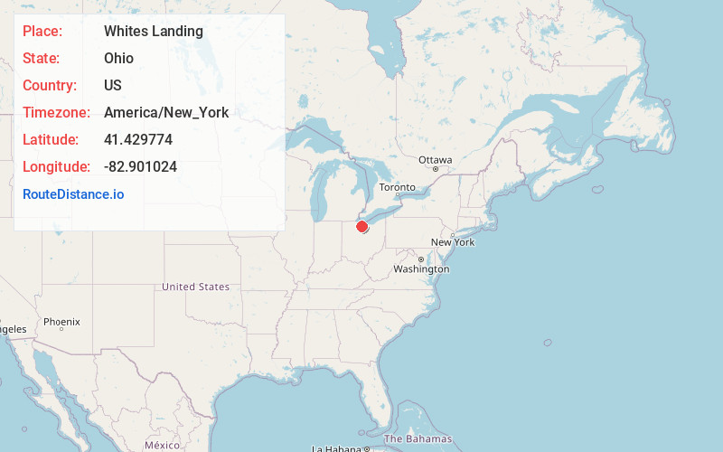
Full AddressWhites Landing, OH 43464
-
Coordinates41.4297741, -82.9010236
-
LocationWhites Landing , Ohio , US
-
TimezoneAmerica/New_York
-
Current Local Time3:06:52 PM America/New_YorkTuesday, June 24, 2025
-
Page Views0
About Whites Landing
Whites Landing is an unincorporated community and census-designated place in Erie and Sandusky counties, Ohio, United States. As of the 2020 census it had a population of 350. It is located within Margaretta and Townsend townships.

Nearby Places
Found 10 places within 50 miles

Bay View
4.7 mi
7.6 km
Bay View, OH 44870
Get directions

Castalia
5.2 mi
8.4 km
Castalia, OH 44824
Get directions

Port Clinton
6.0 mi
9.7 km
Port Clinton, OH 43452
Get directions

Clyde
9.5 mi
15.3 km
Clyde, OH 43410
Get directions

Sandusky
10.0 mi
16.1 km
Sandusky, OH 44870
Get directions

Bellevue
11.2 mi
18.0 km
Bellevue, OH 44811
Get directions

Fremont
12.7 mi
20.4 km
Fremont, OH 43420
Get directions

Oak Harbor
13.8 mi
22.2 km
Oak Harbor, OH 43449
Get directions

Ballville
13.9 mi
22.4 km
Ballville, OH 43420
Get directions
Stony Prairie
14.2 mi
22.9 km
Stony Prairie, OH 43420
Get directions
Location Links
Local Weather
Weather Information
Coming soon!
Location Map
Static map view of Whites Landing, Ohio
Browse Places by Distance
Places within specific distances from Whites Landing
Short Distances
Long Distances
Click any distance to see all places within that range from Whites Landing. Distances shown in miles (1 mile ≈ 1.61 kilometers).