Distance to Kellum, North Carolina

Calculating Your Route
Just a moment while we process your request...
Location Information
-
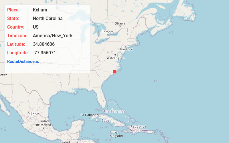
Full AddressKellum, NC 28546
-
Coordinates34.8046063, -77.3560712
-
LocationNorth Carolina , US
-
TimezoneAmerica/New_York
-
Current Local Time5:19:18 AM America/New_YorkWednesday, June 18, 2025
-
Page Views0
Nearby Places
Found 10 places within 50 miles

Pumpkin Center
1.3 mi
2.1 km
Pumpkin Center, NC 28546
Get directions
Hawkside
3.5 mi
5.6 km
Hawkside, Jacksonville, NC 28546
Get directions
Deppe
5.2 mi
8.4 km
Deppe, NC 28555
Get directions

Jacksonville
5.5 mi
8.9 km
Jacksonville, NC
Get directions

Piney Green
5.7 mi
9.2 km
Piney Green, NC
Get directions
Half Moon
6.0 mi
9.7 km
Half Moon, NC
Get directions
Morton Fork
7.3 mi
11.7 km
Morton Fork, NC 28555
Get directions
Pala Alto
7.8 mi
12.6 km
Pala Alto, NC 28555
Get directions
Tar Landing
8.0 mi
12.9 km
Tar Landing, NC 28540
Get directions
Greystone
8.2 mi
13.2 km
Greystone, NC 28540
Get directions
Location Links
Local Weather
Weather Information
Coming soon!
Location Map
Static map view of Kellum, North Carolina
Browse Places by Distance
Places within specific distances from Kellum
Short Distances
Long Distances
Click any distance to see all places within that range from Kellum. Distances shown in miles (1 mile ≈ 1.61 kilometers).