Distance to Tar Landing, North Carolina

Calculating Your Route
Just a moment while we process your request...
Location Information
-
Full AddressTar Landing, NC 28540
-
Coordinates34.7779418, -77.4935775
-
LocationNorth Carolina , US
-
TimezoneAmerica/New_York
-
Current Local Time12:08:18 AM America/New_YorkWednesday, June 18, 2025
-
Page Views0
Nearby Places
Found 10 places within 50 miles

Greystone
0.3 mi
0.5 km
Greystone, NC 28540
Get directions
Waltons Store
2.8 mi
4.5 km
Waltons Store, NC 28540
Get directions
Half Moon
3.8 mi
6.1 km
Half Moon, NC
Get directions

Jacksonville
4.0 mi
6.4 km
Jacksonville, NC
Get directions
Hawkside
5.2 mi
8.4 km
Hawkside, Jacksonville, NC 28546
Get directions
Cyrus
6.3 mi
10.1 km
Cyrus, NC 28454
Get directions
Gum Branch
6.4 mi
10.3 km
Gum Branch, NC 28540
Get directions
Pumpkin Center
7.4 mi
11.9 km
Pumpkin Center, NC 28546
Get directions
Verona
7.6 mi
12.2 km
Verona, NC 28540
Get directions
Gregory Forks
8.6 mi
13.8 km
Gregory Forks, NC 28574
Get directions
Location Links
Local Weather
Weather Information
Coming soon!
Location Map
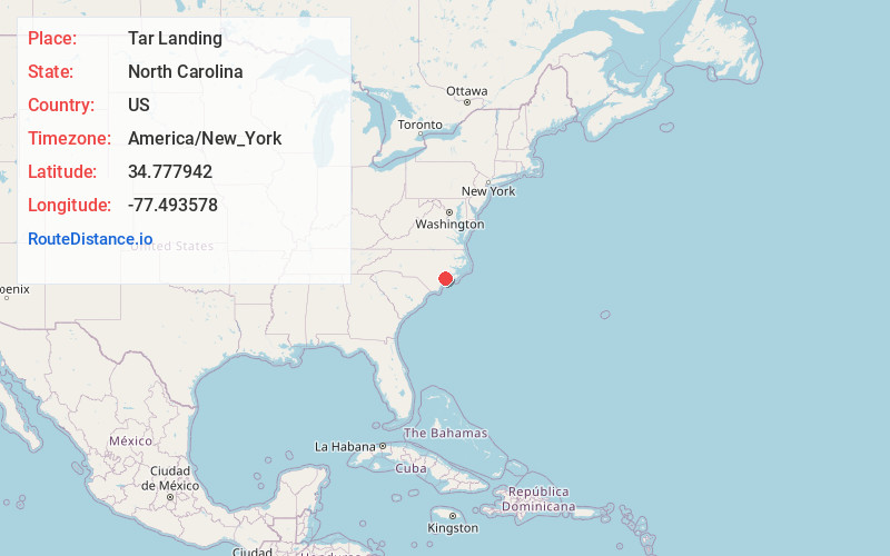
Static map view of Tar Landing, North Carolina
Browse Places by Distance
Places within specific distances from Tar Landing
Short Distances
Long Distances
Click any distance to see all places within that range from Tar Landing. Distances shown in miles (1 mile ≈ 1.61 kilometers).